Posts

Showing posts from December, 2019

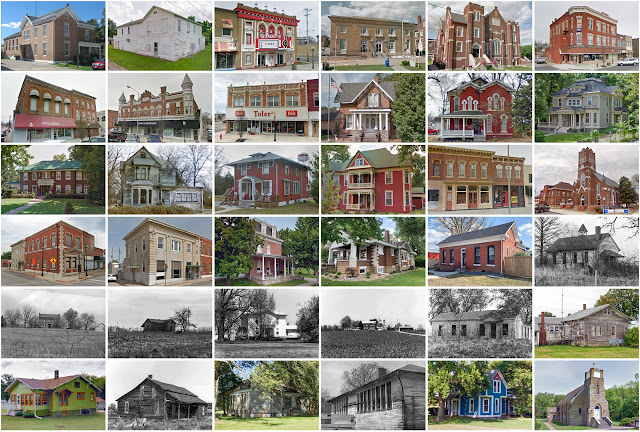
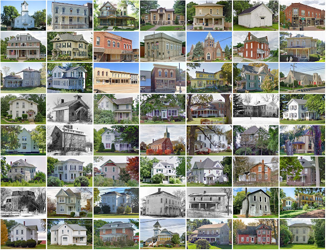
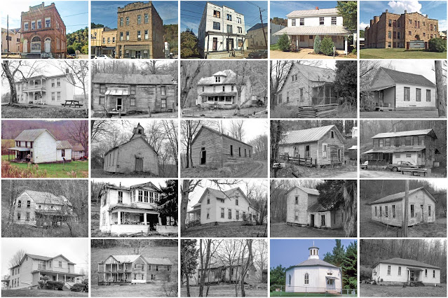
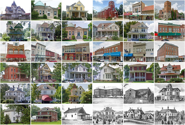
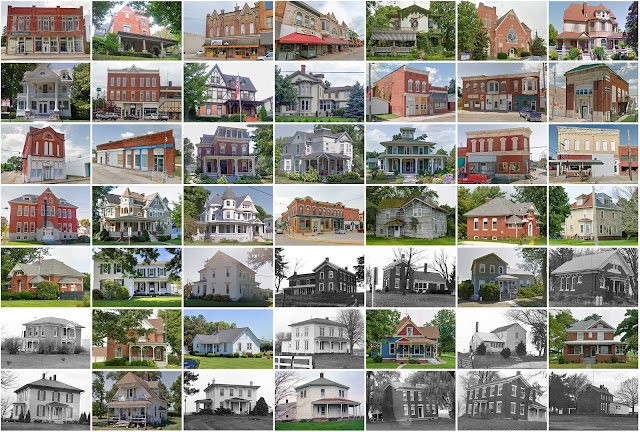
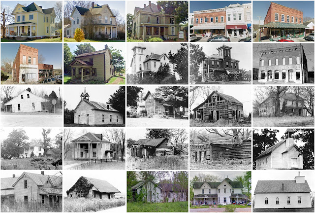
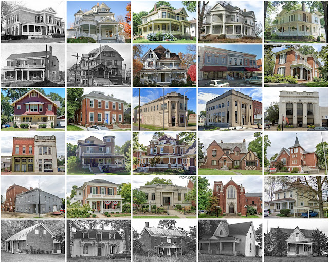
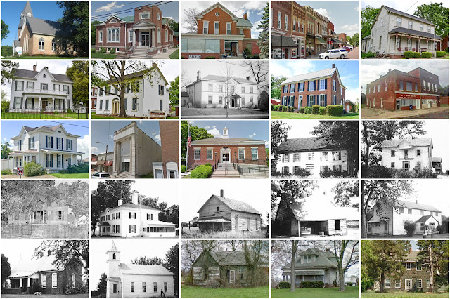
Schuylkill County, Pennsylvania

Image
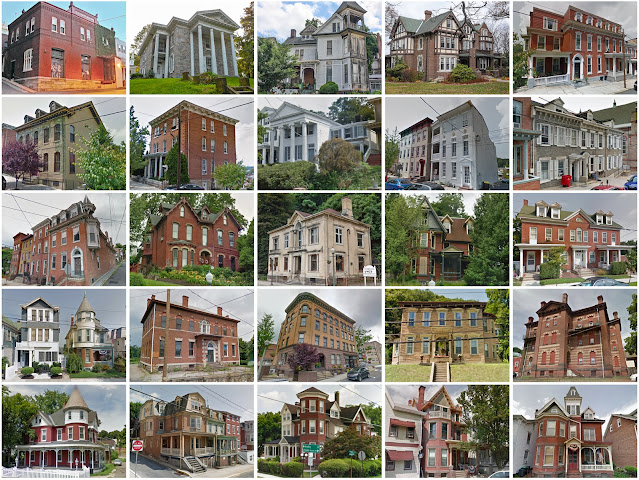
Founding:  1811 Parent counties:  Berks and Northampton Namesake:  The Schuylkill River Seat:  Orwigsburg (1811–1851); Pottsville (1851–) Land area:  779 square miles Population (2020):  143,049 Population (historic):  11,339 (1820); 60,713 (1850); 116,428 (1870); 172,927 (1900); 235,505 (1930) Periods of population growth:  pre-1820–1930; 1970s Subdivisions:  One city; 29 boroughs; 38 CDPs; 36 townships National Register listings:   21 Pre-1940 residences (estimated):  33,578 (48.1%) Pre-1940 housing survival rate:  65.8% Pre-1860 housing survival rate (1940):  22% Farm housing in disrepair (1950):  5.8% Nonfarm housing in disrepair (1950):  4.7% Average farmhouse value (1930):  $1,956 Average outbuilding value (1930):  $1,595 Average farmhouse size (1940):  6.9 rooms Number of farms (1920):  2,813 Average farm size (1920):  49.3 acres _________________________________________________________________________________ Pottsville Namesake:  John Potts, o

Perry County, Illinois

Image
Founding:  1827 Parent counties:  Jackson and Randolph Namesake:  Oliver Hazard Perry, U.S. naval commander Seat:  Pinckneyville (1827–) Land area:  442 square miles Population (2020):  20,945 Population (historic):  1,215 (1830); 5,278 (1850); 13,723 (1870); 19,830 (1900); 22,767 (1930) Periods of population growth:  pre-1830–1920; 1930s; 1960–1980; 1990s Subdivisions:  Two cities; four villages National Register listings:   Two Pre-1940 residences (estimated):  2,080 (21.7 %) Pre-1940 housing survival rate:  40% Pre-1860 housing survival rate (1940):  6.7% Farm housing in disrepair (1950):  13.3% Nonfarm housing in disrepair (1950):  13.2% Average farmhouse value (1930):  $954 Average outbuilding value (1930):  $609 Average farmhouse size (1940):  5.1 rooms Number of farms (1920):  1,775 Average farm size (1920):  99.1 acres Sources of settlement:  Germany, Tennessee, Kentucky, and Ohio ______________________________________________________________________

Amelia County, Virginia

Image
Founding:  1735 Parent counties:  Brunswick and Prince George Namesake:  Princess Amelia of Great Britain Seat:   Pridesville (1735–1766); Dennisville (1766–1849); Amelia Court House (1849–) Land area:  355 square miles Population (2020):  13,265 Population (historic):  18,097 (1790); 11,036 (1830); 9,878 (1870); 9,037 (1900); 8,799 (1930) Periods of population growth:  pre-1790–1800; 1800–1820; 1850s; 1870s; 1910s; 1970–2020 Subdivisions:  One CDP National Register listings:   10 Pre-1940 residences (estimated):  435 (7.9%) Pre-1940 housing survival rate:  24% Pre-1860 housing survival rate (1940):  32.8% Farm housing in disrepair (1950):  21.3% Nonfarm housing in disrepair (1950):  28.2% Average farmhouse value (1930):  $1,021 Average outbuilding value (1930):  $550 Average farmhouse size (1940):  5.1 rooms Number of farms (1920):  1,198 Average farm size (1920):  44.6 acres _________________________________________________________________________________

Kendall County, Illinois

Image
Founding:  1841 Parent counties:  Kane and LaSalle Namesake:  Amos Kendall, U.S. postmaster general Seat:  Oswego (1841–1859); Yorkville (1859–) Land area:  320 square miles Population (2020):  131,869 Population (historic):  7,730 (1850); 12,399 (1870); 11,467 (1900); 10,555 (1930) Periods of population growth:  pre-1850–1860; 1870s; 1920–2020 Subdivisions:  Two cities; seven villages; one CDP; nine townships National Register listings:   11 Pre-1940 residences (estimated):  2,124 (5.1%) Pre-1940 housing survival rate:  66.1% Pre-1860 housing survival rate (1940):  15.5% Farm housing in disrepair (1950):  2.5% Nonfarm housing in disrepair (1950):  3.7% Average farmhouse value (1930):  $2,962 Average outbuilding value (1930):  $3,454 Average farmhouse size (1940):  7.7 rooms Number of farms (1920):  1,210 Average farm size (1920):  143.7 acres Sources of settlement:  New York, Norway, Germany, and England _____________________________________________________

Calhoun County, West Virginia

Image
Founding:  1856 Parent county:  Gilmer Namesake:  John Calhoun, South Carolina politician Seat:  Grantsville (1865–) Land area:  279 square miles Population (2020):  6,229 Population (historic):  2,502 (1860); 6,072 (1880); 10,266 (1900); 10,866 (1930) Periods of population growth:  pre-1860–1910; 1920–1940; 1970s Subdivisions:  One town National Register listings:   Two Pre-1940 residences (estimated):  641 (16.1%) Pre-1940 housing survival rate:  33.4% Pre-1860 housing survival rate (1940):  2.2% Farm housing in disrepair (1950):  16.9% Nonfarm housing in disrepair (1950):  14.7% Average farmhouse value (1930):  $670 Average outbuilding value (1930):  $301 Average farmhouse size (1940):  4.9 rooms Number of farms (1920):  1,492 Average farm size (1920):  59 acres _________________________________________________________________________________ Grantsville Namesake:  Ulysses Grant, U.S. president and soldier Founding:  1865 (platting); 1866 (post of

Ford County, Illinois

Image
Founding:  1859 Parent county:  Unorganized territory Namesake:  Thomas Ford, Illinois governor Seat:  Paxton (1859–) Land area:  486 square miles Population (2020):  13,534 Population (historic):  1,979 (1860); 15,099 (1880); 18,359 (1900); 15,489 (1930) Periods of population growth:  pre-1860–1900; 1940–1960 Subdivisions:  Two cities; seven villages; 12 townships National Register listings:   Five Pre-1940 residences (estimated):  2,107 (33.3%) Pre-1940 housing survival rate:  55% Farm housing in disrepair (1950):  3.5% Nonfarm housing in disrepair (1950):  5.3% Average farmhouse value (1930):  $2,035 Average outbuilding value (1930):  $2,574 Average farmhouse size (1940):  6.9 rooms Number of farms (1920):  1,655 Average farm size (1920):  175.8 acres Sources of settlement:  Illinois, Sweden, Ohio, Germany, New York, Indiana, and Pennsylvania _________________________________________________________________________________ Paxton Namesake:  Joseph Pa

Warren County, Illinois

Image
Founding:  1831 (declared in 1825) Parent county:  Unorganized territory Namesake:  Joseph Warren, Boston revolutionary leader Seat:  Monmouth (1831–) Land area:  542 square miles Population (2020):  16,835 Population (historic):  308 (1830); 8,176 (1850); 23,174 (1870); 23,163 (1900); 21,745 (1930) Periods of population growth:  1830–1870; 1890–1910; 1920s; 1940s; 1960–1980 Subdivisions:  One city; four villages; 15 townships National Register listings:   11 Pre-1940 residences (estimated):  3,214 (41.8%) Pre-1940 housing survival rate:  51.9% Pre-1860 housing survival rate (1940):  10.2% Farm housing in disrepair (1950):  4.7% Nonfarm housing in disrepair (1950):  8.7% Average farmhouse value (1930):  $2,401 Average outbuilding value (1930):  $2,223 Average farmhouse size (1940):  6.8 rooms Number of farms (1920):  1,899 Average farm size (1920):  142.5 acres Sources of settlement:  Ohio, Pennsylvania, New York, Sweden, Indiana, Kentucky, and Ireland _____

Hamilton County, Illinois

Image
Founding:  1821 Parent county:  White Namesake:  Alexander Hamilton, Founding Father Seat:  McLeansboro (1821–) Land area:  435 square miles Population (2020):  7,993 Population (historic):  2,616 (1830); 6,362 (1850); 13,014 (1870); 20,197 (1900); 12,995 (1930) Periods of population growth:  pre-1830–1900; 1930s; 1970s; 1990s Subdivisions:  One city; one town; three villages; 12 townships National Register listings:   Four Pre-1940 residences (estimated):  854 (20.8%) Pre-1940 housing survival rate:  29% Pre-1860 housing survival rate (1940):  2.9% Farm housing in disrepair (1950):  15% Nonfarm housing in disrepair (1950):  10.6% Average farmhouse value (1930):  $677 Average outbuilding value (1930):  $405 Average farmhouse size (1940):  4.3 rooms Number of farms (1920):  2,633 Average farm size (1920):  80.1 acres Sources of settlement:  Tennessee, Kentucky, and Indiana _________________________________________________________________________________ Mc

Pope County, Illinois

Image
Founding:  1816 Parent counties:  Gallatin and Johnson Namesake:  Nathaniel Pope, Illinois politician Seat:  Golconda (1816–) Land area:  369 square miles Population (2020):  3,763 Population (historic):  2,610 (1820); 3,975 (1850); 11,437 (1870); 13,585 (1900); 7,996 (1930) Periods of population growth:  pre-1820–1840; 1850–1890; 1970s; 1990–2010 Subdivisions:  One city; one village National Register listings:   Three Pre-1940 residences (estimated):  598 (21.5%) Pre-1940 housing survival rate:  23.7% Pre-1860 housing survival rate (1940):  4.2% Farm housing in disrepair (1950):  17.8% Nonfarm housing in disrepair (1950):  10.4% Average farmhouse value (1930):  $533 Average outbuilding value (1930):  $420 Average farmhouse size (1940):  4.1 rooms Number of farms (1920):  1,587 Average farm size (1920):  82.2 acres Sources of settlement:  Tennessee, Kentucky, Virginia, and Germany ______________________________________________________________________________

Gallatin County, Illinois

Image
Founding:  1812 Parent county:  Randolph Namesake:  Albert Gallatin, Pennsylvania politician Seat:  Shawneetown (1812–1937); New Shawneetown (1937–) Land area:  323 square miles Population (2020):  4,946 Population (historic):  3,155 (1820); 5,448 (1850); 11,134 (1870); 15,836 (1900); 10,091 (1930) Periods of population growth:  pre-1820–1840; 1850–1900; 1930s; 1970s Subdivisions:  One city; six villages; ten townships National Register listings:   Seven Pre-1940 residences (estimated):  479 (17.4%) Pre-1940 housing survival rate:  19.6% Pre-1860 housing survival rate (1940):  9.1% Farm housing in disrepair (1950):  17% Nonfarm housing in disrepair (1950):  25.4% Average farmhouse value (1930):  $927 Average outbuilding value (1930):  $681 Average farmhouse size (1940):  4.4 rooms Number of farms (1920):  1,387 Average farm size (1920):  98 acres Sources of settlement:  Kentucky, Indiana, and Tennessee _________________________________________________________

Wabash County, Illinois

Image
Founding:  1824 Parent county:  Edwards Namesake:  The Wabash River Seat:   Centerville (1824–1829); Mount Carmel (1829–) Land area:  223 square miles Population (2020):  11,361 Population (historic):  2,710 (1830); 4,690 (1850); 8,841 (1870); 12,583 (1900); 13,197 (1930) Periods of population growth:  pre-1830–1910; 1930–1950; 1970s Subdivisions:  One city; three villages; eight precincts National Register listings:   One Pre-1940 residences (estimated):  1,263 (22.7%) Pre-1940 housing survival rate:  41.4% Pre-1860 housing survival rate (1940):  10.9% Farm housing in disrepair (1950):  4.9% Nonfarm housing in disrepair (1950):  5.5% Average farmhouse value (1930):  $1,327 Average outbuilding value (1930):  $1,029 Average farmhouse size (1940):  5.5 rooms Number of farms (1920):  1,053 Average farm size (1920):  109.6 acres Sources of settlement:  Indiana, Ohio, Germany, Pennsylvania, and Kentucky ____________________________________________________________

Edwards County, Illinois

Image
Founding:  1814 Parent counties:  Gallatin and Madison Namesake:  Ninian Edwards, Illinois governor Seat:   Palmyra (1814–1821); Albion (1821–) Land area:  222 square miles Population (2020):  6,245 Population (historic):  3,444 (1820); 3,524 (1850); 7,565 (1870); 10,345 (1900); 8,303 (1930) Periods of population growth:  pre-1820–1900; 1930–1950; 1970s Subdivisions:  Two cities; three villages; eight precincts National Register listings:   One Pre-1940 residences (estimated):  778 (24.4%) Pre-1940 housing survival rate:  34.1% Pre-1860 housing survival rate (1940):  6.2% Farm housing in disrepair (1950):  7% Nonfarm housing in disrepair (1950):  10.3% Average farmhouse value (1930):  $1,004 Average outbuilding value (1930):  $759 Average farmhouse size (1940):  5.3 rooms Number of farms (1920):  1,186 Average farm size (1920):  106.4 acres Sources of settlement:  England, Indiana, Kentucky, Germany, and Ohio _________________________________________________

Boone County, Indiana

Image
Founding:  1830 Parent counties:  Unorganized territory Namesake:  Daniel Boone, American frontiersman Seat:  Jamestown (1830–1831); Lebanon (1831–) Land area:  423 square miles Population (2010):  56,640 Population (historic):  621 (1830); 11,631 (1850); 22,593 (1870); 26,321 (1900); 22,290 (1930) Periods of population growth:  1830–1880; 1950–1980; 1990–2020 Subdivisions:  One city; six towns; 12 townships National Register listings:   15 Pre-1940 residences (estimated):  3,829 (14.7%) Pre-1940 housing survival rate:  65.6% Pre-1860 housing survival rate (1940):  7.3% Farm housing in disrepair (1950): 6.8% Nonfarm housing in disrepair (1950): 6.8% Average farmhouse value (1930):  $1,475 Average outbuilding value (1930):  $1,261 Average farmhouse size (1940):  6.4 rooms Number of farms (1920):  3,011 Average farm size (1920):  74.3 acres Sources of settlement:  Kentucky, Ohio, and Virginia _____________________________________________________________________