Posts

Showing posts with the label oneida county

Oneida County, Wisconsin

Image
Founding:  1887 Parent county:  Lincoln Namesake:  The Oneida people Seat:  Rhinelander (1887–) Land area:  1,113 square miles Population (2020):  37,845 Population (historic):  5,010 (1890); 11,433 (1910); 15,899 (1930) Periods of population growth:  pre-1890–2000; 2010s Subdivisions:  One city; four CDPs; 20 towns Pre-1940 residences (estimated):  2,515 (8.2%) Pre-1940 housing survival rate:  49.5% Farm housing in disrepair (1950):  21.8% Average farmhouse value (1930):  $1,306 Average outbuilding value (1930):  $1,273 Average farmhouse size (1940):  4.7 rooms Number of farms (1920):  724 Average farm size (1920):  38.9 acres Sources of settlement:  Wisconsin, Germany, Michigan, Canada, Sweden, Norway, and Russia _________________________________________________________________________________   Rhinelander   Namesake:  Frederic Rhinelander, railroad president Founding:  1880 ...

Oneida County, New York

Image
Founding:  1798 Parent county:  Herkimer Namesake:  The Oneida people Seat:  Rome (1798–1871); Whitestown (1801–1871); Utica (1871–) Land area:  1,212 square miles Population (2020):  232,125 Population (historic):  22,047 (1800); 85,310 (1840); 110,008 (1870); 132,800 (1900); 198,763 (1930) Periods of population growth:  pre-1800–1970 Subdivisions:  Three cities; 16 villages; 17 CDPs; 26 towns Pre-1940 residences (estimated):  34,137 (32.3%) Pre-1940 housing survival rate:  65.9% Pre-1860 housing survival rate (1940):  31.7% Farm housing in disrepair (1950):  10.3% Nonfarm housing in disrepair (1950):  4.1% Average farmhouse value (1930):  $2,014 Average outbuilding value (1930):  $2,056 Average farmhouse size (1940):  7.9 rooms Number of farms (1920):  6,233 Average farm size (1920):   60.9 acres _________________________________________________________________________________   Utica ...

Oneida County, Idaho

Image
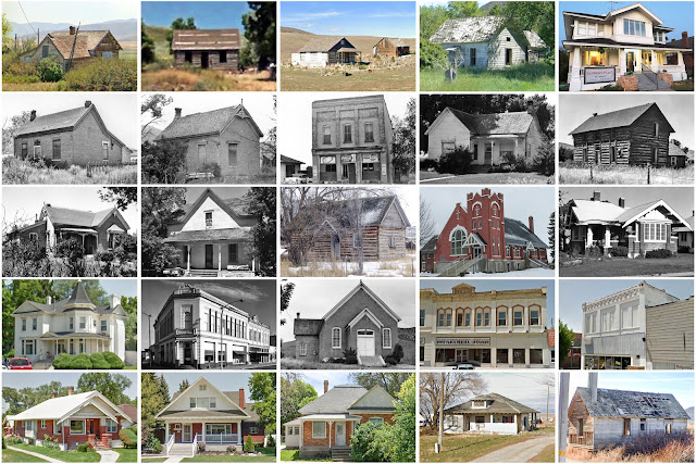
  Founding:  1864 Parent counties:  Boise and Owyhee Namesake:  Oneida Lake, New York Seat:  Soda Springs (1864–1866); Malad City (1866–) Land area:  1,200 square miles Population (2020):  4,564 Population (historic):  1,922 (1870); 6,819 (1890); 15,170 (1910); 5,870 (1930) Periods of population growth:  pre-1870–1880; 1890–1910; 1970–2020 Subdivisions:  One city Pre-1940 residences (estimated):  569 (28.5%) Pre-1940 housing survival rate:  36% Farm housing in disrepair (1950): 16.1% Nonfarm housing in disrepair (1950): 7.1% Average farmhouse value (1930):  $1,056 Average outbuilding value (1930):  $570 Average farmhouse size (1940):  3.7 rooms Number of farms (1920):  1,041 Average farm size (1920):  169.8 acres Sources of settlement:  Utah and Wales _________________________________________________________________________________ Malad City Namesake:  The Malad River Founding:  1864 (...