Menominee County, Michigan
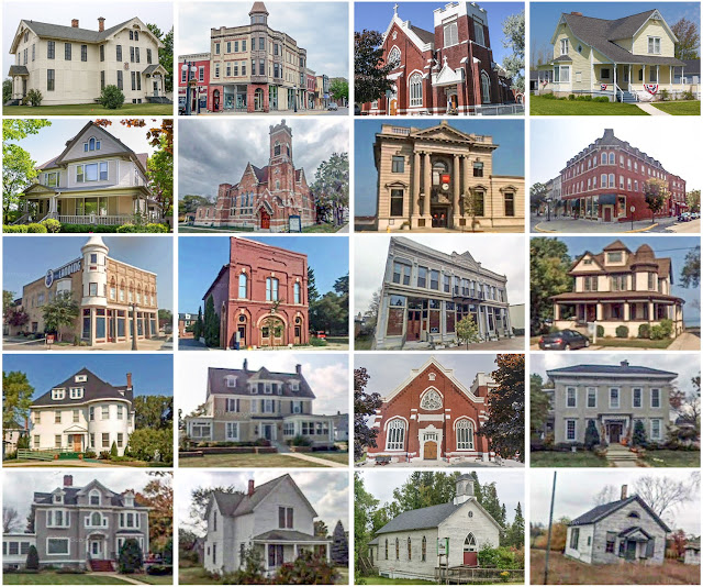
Founding: 1863 (declared in 1861) Parent county: Delta Namesake: The Menominee River Seat: Menominee (1863–) Land area: 1,044 square miles Population (2020): 23,502 Population (historic): 1,791 (1870); 33,639 (1890); 25,648 (1910); 23,652 (1930) Periods of population growth: pre-1870–1890; 1930–1950; 1970s; 1990s Subdivisions: Two cities; three villages; 14 townships Pre-1940 residences (estimated): 3,256 (22.8%) Pre-1940 housing survival rate: 58.3% Farm housing in disrepair (1950): 14.6% Nonfarm housing in disrepair (1950): 10.3% Average farmhouse value (1930): $1,104 Average outbuilding value (1930): $1,061 Average farmhouse size (1940): 5.4 rooms Number of farms (1920): 2,106 Average farm size (1920): 40.5 acres Sources of settlement: Michigan, Wisconsin, Sweden, Germany, Canada, France, and New York ____________________________________________________________...
