Posts

Showing posts from October, 2022

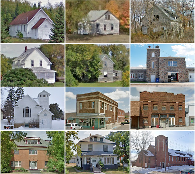
Montgomery County, Virginia

Image
Founding:  1776 Parent county:  Fincastle Namesake:  Richard Montgomery, Continental Army general Seat:  Christiansburg (1777–) Land area:  387 square miles Population (2020):  99,721 Population (historic):  13,228 (1790); 7,405 (1840); 12,556 (1870); 15,852 (1900); 19,605 (1930) Periods of population growth:  pre-1790; 1810–1830; 1840–1890; 1900–2020 Subdivisions:  Two towns; eight CDPs National Register listings:   74 (plus eight in Radford) Pre-1940 residences (estimated):  2,439 (5.7%) Pre-1940 housing survival rate:  41.9% Pre-1860 housing survival rate (1940):  22.1% Farm housing in disrepair (1950):  11.2% Nonfarm housing in disrepair (1950):  10.2% Average farmhouse value (1930):  $1,353 Average outbuilding value (1930):  $716 Average farmhouse size (1940):  5.4 rooms Number of farms (1920):  1,860 Average farm size (1920):  64.7 acres _________________________________________________________________________________   Christiansburg   Namesake:  William Christian, Virginia po

Mahnomen County, Minnesota

Image
Founding:  1906 Parent county:  Norman Namesake:  The city of Mahnomen Seat:  Mahnomen (1906–) Land area:  558 square miles Population (2020):  5,411 Population (historic):  3,249 (1910); 6,197 (1920); 6,153 (1930) Periods of population growth:  pre-1910–1920; 1930s; 1990–2010 Subdivisions:  Three cities; nine CDPs; 16 townships National Register listings:   Three Pre-1940 residences (estimated):  417 (15%) Pre-1940 housing survival rate:  38.4% Farm housing in disrepair (1950):  17.5% Nonfarm housing in disrepair (1950):  19.2% Average farmhouse value (1930):  $844 Average outbuilding value (1930):  $1,062 Average farmhouse size (1940):  4.1 rooms Number of farms (1920):  590 Average farm size (1920):  139.4 acres Sources of settlement:  Minnesota, Germany, Czechoslovakia, Iowa, and Scandinavia _________________________________________________________________________________   Mahnomen   Namesake:  An Ojibwe word meaning "wild rice" Founding:  1904 (platting); 1904 (post off

Haralson County, Georgia

Image
Founding:  1856 Parent counties:  Carroll and Polk Namesake:  Hugh Haralson, Georgia politician Seat:  Buchanan (1856–) Land area:  282 square miles Population (2020):  30,572 Population (historic):  3,039 (1860); 5,972 (1880); 11,922 (1900); 13,263 (1930) Periods of population growth:  pre-1860–1920; 1930–1950; 1960–2020 Subdivisions:  Four cities National Register listings:   Three Pre-1940 residences (estimated):  747 (6%) Pre-1940 housing survival rate:  22.5% Pre-1860 housing survival rate (1940):  1.4% Farm housing in disrepair (1950):  37.5% Nonfarm housing in disrepair (1950):  13.5% Average farmhouse value (1930):  $411 Average outbuilding value (1930):  $172 Average farmhouse size (1940):  4.1 rooms Number of farms (1920):  2,068 Average farm size (1920):  31.9 acres _________________________________________________________________________________   Buchanan   Namesake:  James Buchanan, U.S. president Founding:  1856 (platting); 1856 (post office); 1857 (incorporation) Popula

Addison County, Vermont

Image
Founding:  1785 Parent county:  Rutland Namesake:  Joseph Addison, English writer Seat:  Middlebury (1785–) Land area:  766 square miles Population (2020):  37,363 Population (historic):  6,420 (1790); 23,583 (1840); 23,484 (1870); 21,912 (1900); 17,952 (1930) Periods of population growth:  pre-1790–1830; 1840s; 1870s; 1940–2020 Subdivisions:  One city; six CDPs; 22 towns National Register listings:   75 Pre-1940 residences (estimated):  4,865 (27.7%) Pre-1940 housing survival rate:  88.4% Pre-1860 housing survival rate (1940):  42.3% Farm housing in disrepair (1950):  8% Nonfarm housing in disrepair (1950):  8.1% Average farmhouse value (1930):  $1,968 Average outbuilding value (1930):  $2,041 Average farmhouse size (1940):  8 rooms Number of farms (1920):  2,375 Average farm size (1920):  91.7 acres _________________________________________________________________________________   Middlebury   Namesake:  Uncertain—perhaps a reference to the town's central location Founding:  176

Claiborne County, Tennessee

Image
Founding:  1801 Parent counties:  Grainger and Hawkins Namesake:  William Claiborne, Louisiana governor Seat:  Tazewell (1804–) Land area:  435 square miles Population (2020):  32,043 Population (historic):  4,798 (1810); 9,474 (1840); 9,321 (1870); 20,696 (1900); 24,313 (1930) Periods of population growth:  pre-1810–1840; 1850s; 1870–1910; 1920–1950; 1960–2010 Subdivisions:  Two cities; two towns National Register listings:   14 Pre-1940 residences (estimated):  1,209 (7.8%) Pre-1940 housing survival rate:  24.3% Pre-1860 housing survival rate (1940):  4.1% Farm housing in disrepair (1950):  26.8% Nonfarm housing in disrepair (1950):  25.3% Average farmhouse value (1930):  $502 Average outbuilding value (1930):  $250 Average farmhouse size (1940):  4 rooms Number of farms (1920):  3,022 Average farm size (1920):  39 acres _________________________________________________________________________________   Tazewell   Namesake:  Henry Tazewell, Virginia politician Founding:  pre-1804 (fo

Seminole County, Georgia

Image
Founding:  1920 Parent county:  Decatur Namesake:  The Seminole tribe Seat:  Donalsonville (1920–) Land area:  235 square miles Population (2020):  9,197 Population (historic):  7,389 (1930); 8,492 (1940) Periods of population growth:  pre-1930–1940; 1960–1980; 1990s Subdivisions:  One city; one town National Register listings:   Three Pre-1940 residences (estimated):  138 (2.8%) Pre-1940 housing survival rate:  16.5% Farm housing in disrepair (1950):  34.9% Nonfarm housing in disrepair (1950):  30.4% Average farmhouse value (1930):  $476 Average outbuilding value (1930):  $288 Average farmhouse size (1940):  4 rooms Number of farms (1930):  952 _________________________________________________________________________________   Donalsonville   Namesake:  John Donalson, local businessman Founding:  1889 (platting); 1889 (post office); 1897 (incorporation) Population (2020):  2,833 Population (historic):  519 (1900); 747 (1910); 1,031 (1920); 1,183 (1930) Periods of population growth:  p

Rock County, Wisconsin

Image
Founding:  1839 (declared in 1836) Parent county:  Milwaukee Namesake:  The Rock River Seat:  Janesville (1839–) Land area:  718 square miles Population (2020):  163,687 Population (historic):  1,701 (1840); 36,690 (1860); 38,823 (1880); 51,203 (1900); 74,206 (1930) Periods of population growth:  pre-1840–1870; 1880–2020 Subdivisions:  Five cities; three villages; one CDP; 20 towns National Register listings:   146 Pre-1940 residences (estimated):  14,265 (20.2%) Pre-1940 housing survival rate:  70.1% Pre-1860 housing survival rate (1940):  14.4% Farm housing in disrepair (1950):  4.6% Average farmhouse value (1930):  $2,243 Average outbuilding value (1930):  $2,784 Average farmhouse size (1940):  7.1 rooms Number of farms (1920):  3,660 Average farm size (1920):  93.8 acres Sources of settlement:  New York, Ireland, Germany, Norway, England, and New England _________________________________________________________________________________   Janesville   Namesake:  Henry Janes, platter