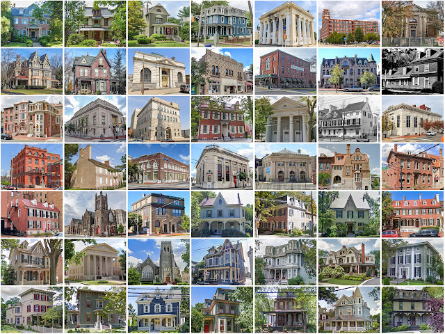
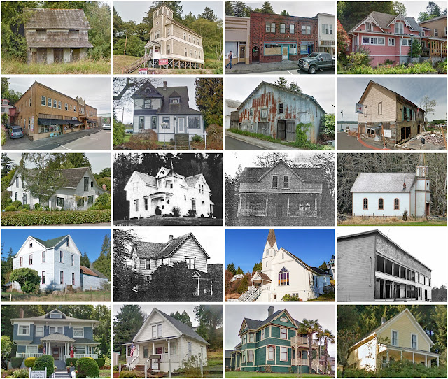
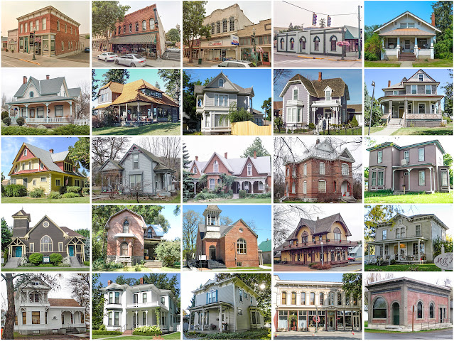
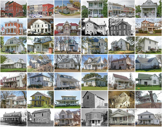
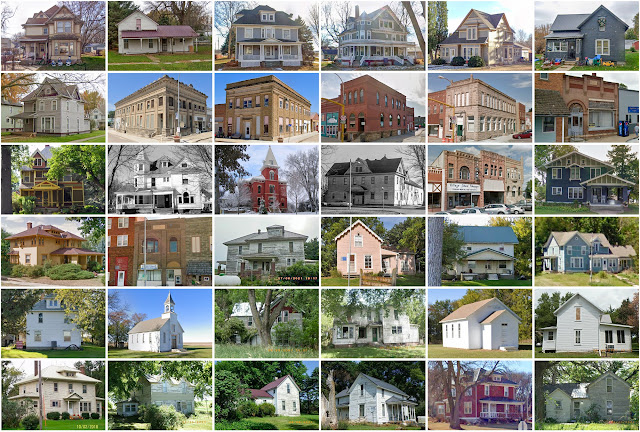
Posts

Showing posts from September, 2020

Henry County, Iowa

Image
Founding:  1836 Parent county:  Des Moines Namesake:  Disputed—perhaps Henry Dodge, Wisconsin politician Seat:  Mount Pleasant (1836–) Land area:  434 square miles Population (2020):  20,482 Population (historic):  8,707 (1850); 21,463 (1870); 18,895 (1890); 18,640 (1910); 17,660 (1930) Periods of population growth:  pre-1850–1870; 1890s; 1930–1950; 1970–2000; 2010s Subdivisions:  Ten cities; 12 townships National Register listings:   54 Pre-1940 residences (estimated):  2,731 (32.7%) Pre-1940 housing survival rate:  55.3% Pre-1860 housing survival rate (1940):  4.4% Farm housing in disrepair (1950):  5.5% Nonfarm housing in disrepair (1950):  4.5% Average farmhouse value (1930):  $2,475 Average outbuilding value (1930):  $2,029 Average farmhouse size (1940):  6.9 rooms Number of farms (1920):  1,989 Average farm size (1920):  101.1 acres Sources of settlement:  Ohio, Pennsylvania, Indiana, Illinois, New York, Sweden, Virginia, and Germany _________________

Marin County, California

Image
Founding:  1850 Parent county:  Unorganized territory Namesake:  Unknown Seat:  San Rafael (1850–) Land area:  520 square miles Population (2020):  262,321 Population (historic):  3,334 (1860); 11,324 (1880); 15,702 (1900); 41,648 (1930) Periods of population growth:  pre-1860–2020 Subdivisions:  11 cities; 21 CDPs National Register listings:   52 Pre-1940 residences (estimated):  14,897 (13.2%) Pre-1940 housing survival rate:  83.1% Pre-1860 housing survival rate (1940):  1.9% Farm housing in disrepair (1950): 5.5% Nonfarm housing in disrepair (1950): 4.8% Average farmhouse value (1930):  $1,836 Average outbuilding value (1930):  $2,824 Average farmhouse size (1940):  5.3 rooms Number of farms (1920):  718 Average farm size (1920):  122.3 acres Sources of settlement:  New York, China, Ireland, Switzerland, Portugal, Germany, and New England states _________________________________________________________________________________ San Rafael Namesake

Del Norte County, California

Image
Founding:  1857 Parent county:  Klamath Namesake:  A Spanish phrase meaning "of the north" Seat:  Crescent City (1857–) Land area:  1,006 square miles Population (2020):  27,743 Population (historic):  1,993 (1860); 2,584 (1880); 2,408 (1900); 4,739 (1930) Periods of population growth:  pre-1860–1890; 1900–1960; 1970–2010 Subdivisions:  One city; six CDPs National Register listings:   14 Pre-1940 residences (estimated):  621 (5.5%) Pre-1940 housing survival rate:  39.3% Farm housing in disrepair (1950):  10.7% Nonfarm housing in disrepair (1950):  15.4% Average farmhouse value (1930):  $2,051 Average outbuilding value (1930):  $1,833 Average farmhouse size (1940):  5 rooms Number of farms (1920):  130 Average farm size (1920):  101.9 acres _________________________________________________________________________________ Crescent City Namesake:  A crescent-shaped beach near the city Founding:  1853 (platting); 1853 (post office); 1854 (incor

Camden County, New Jersey

Image
Founding:  1844 Parent county:  Gloucester Namesake:  The city of Camden Seat:  Camden (1844–) Land area:  221 square miles Population (2020):  523,485 Population (historic):  25,442 (1850); 46,193 (1870); 87,687 (1890); 142,029 (1910); 252,312 (1930) Periods of population growth:  pre-1850–2020 Subdivisions:  Two cities; 27 boroughs; 11 CDPs; eight townships National Register listings:   99 Pre-1940 residences (estimated):  37,944 (18.4%) Pre-1940 housing survival rate:  53.3% Pre-1860 housing survival rate (1940):  27.4% Farm housing in disrepair (1950):  6.2% Nonfarm housing in disrepair (1950):  3.6% Average farmhouse value (1930):  $2,917 Average outbuilding value (1930):  $1,656 Average farmhouse size (1940):  6.7 rooms Number of farms (1920):  1,035 Average farm size (1920):  38.1 acres _________________________________________________________________________________ Camden Namesake:  Charles Pratt, English politician Founding:  1773 (plattin

Marion County, Iowa

Image
Founding:  1845 Parent county:  Unorganized territory Namesake:  Francis Marion, Continental Army officer Seat:  Knoxville (1845–) Land area:  555 square miles Population (2020):  33,414 Population (historic):  5,482 (1850); 24,436 (1870); 23,058 (1890); 22,995 (1910); 25,727 (1930) Periods of population growth:  pre-1850–1880; 1890s; 1910–1940; 1960–2020 Subdivisions:  Nine cities; 12 townships National Register listings:   28 Pre-1940 residences (estimated):  3,249 (22.9%) Pre-1940 housing survival rate:  47.4% Pre-1860 housing survival rate (1940):  2.9% Farm housing in disrepair (1950):  5.2% Nonfarm housing in disrepair (1950):  4.5% Average farmhouse value (1930):  $1,757 Average outbuilding value (1930):  $1,581 Average farmhouse size (1940):  6.2 rooms Number of farms (1920):  2,402 Average farm size (1920):  114.7 acres Sources of settlement:  Ohio, Holland, Pennsylvania, Indiana, Illinois, and Virginia _____________________________________________

Wahkiakum County, Washington

Image
Founding:  1854 Parent county:  Cowlitz Namesake:  Wahkiakum, Chinook chief Seat:  Cathlamet (1854–) Land area:  263 square miles Population (2020):  4,422 Population (historic):  270 (1870); 2,526 (1890); 3,285 (1910); 3,862 (1930) Periods of population growth:  1860–1940; 1960–1980; 1990–2020 Subdivisions:  One town; nine CDPs National Register listings:   Five Pre-1940 residences (estimated):  323 (15%) Pre-1940 housing survival rate:  32.4% Farm housing in disrepair (1950):  21.1% Nonfarm housing in disrepair (1950):  12.7% Average farmhouse value (1930):  $1,356 Average outbuilding value (1930):  $1,069 Average farmhouse size (1940):  5.6 rooms Number of farms (1920):  373 Average farm size (1920):  23 acres Sources of settlement:  Oregon, Sweden, Finland, and Norway _________________________________________________________________________________ Cathlamet Namesake:  The Cathlamet people, who occupied a village at the site Founding:  1840s (fo

Columbia County, Washington

Image
Founding:  1875 Parent county:  Walla Walla Namesake:  The Columbia River Seat:  Dayton (1875–) Land area:  869 square miles Population (2020):  3,952 Population (historic):  7,103 (1880); 7,128 (1900); 5,325 (1930) Periods of population growth:  pre-1880; 1890s; 1930s Subdivisions:  One city; one town National Register listings:   20 Pre-1940 residences (estimated):  866 (40.1%) Pre-1940 housing survival rate:  46.3% Farm housing in disrepair (1950):  5.8% Nonfarm housing in disrepair (1950):  5.4% Average farmhouse value (1930):  $1,537 Average outbuilding value (1930):  $1,449 Average farmhouse size (1940):  5.9 rooms Number of farms (1920):  622 Average farm size (1920):  309.7 acres _________________________________________________________________________________ Dayton Namesake:  Jesse Day, owner of the city site Founding:  1871 (platting); 1872 (post office); 1876 (incorporation) Population (2020):  2,448 Population (historic):  996 (1880)

Davis County, Iowa

Image
Founding:  1844 (declared in 1843) Parent county:  Unorganized territory Namesake:  Garrett Davis, Kentucky politician Seat:  Bloomfield (1843–) Land area:  502 square miles Population (2020):  9,110 Population (historic):  7,264 (1850); 15,565 (1870); 15,258 (1890); 13,315 (1910); 11,150 (1930) Periods of population growth:  pre-1850–1880; 1890s; 1970s; 1990–2020 Subdivisions:  Four cities; 15 townships National Register listings:   15 Pre-1940 residences (estimated):  1,159 (32.2%) Pre-1940 housing survival rate:  40.5% Pre-1860 housing survival rate (1940):  1.5% Farm housing in disrepair (1950):  10.1% Nonfarm housing in disrepair (1950):  9.9% Average farmhouse value (1930):  $1,622 Average outbuilding value (1930):  $1,304 Average farmhouse size (1940):  5.9 rooms Number of farms (1920):  2,089 Average farm size (1920):  119.1 acres Sources of settlement:  Ohio, Indiana, Illinois, Kentucky, Missouri, and Pennsylvania __________________________________

Bay County, Michigan

Image
Founding:  1857 Parent counties:  Arenac, Midland, and Saginaw Namesake:  Saginaw Bay Seat:  Bay City (1857–) Land area:  442 square miles Population (2020):  103,856 Population (historic):  3,164 (1860); 38,081 (1880); 62,378 (1900); 69,474 (1930) Periods of population growth:  pre-1860–1920; 1930–1980 Subdivisions:  Four cities; 14 townships National Register listings:   17 Pre-1940 residences (estimated):  11,615 (24%) Pre-1940 housing survival rate:  59.3% Farm housing in disrepair (1950):  9.9% Nonfarm housing in disrepair (1950):  5.7% Average farmhouse value (1930):  $1,676 Average outbuilding value (1930):  $1,421 Average farmhouse size (1940):  6.3 rooms Number of farms (1920):  3,216 Average farm size (1920):  52.2 acres Sources of settlement:  Canada, New York, Germany, Ireland, Ohio, and Poland _________________________________________________________________________________ Bay City Namesake:  Saginaw Bay Founding:  1837 (platting as Ha

Ida County, Iowa

Image
Founding:  1859 (declared in 1851) Parent county:  Unorganized territory Namesake:  Mount Ida (in Crete) Seat:   Ida (1858–1877); Ida Grove (1877–) Land area:  432 square miles Population (2020):  7,005 Population (historic):  226 (1870); 10,705 (1890); 11,296 (1910); 11,933 (1930) Periods of population growth:  1860–1900; 1910–1930 Subdivisions:  Five cities; 12 townships National Register listings:   Six Pre-1940 residences (estimated):  1,436 (41.9%) Pre-1940 housing survival rate:  56.6% Farm housing in disrepair (1950):  1.1% Nonfarm housing in disrepair (1950):  8.6% Average farmhouse value (1930):  $2,694 Average outbuilding value (1930):  $3,884 Average farmhouse size (1940):  7.1 rooms Number of farms (1920):  1,398 Average farm size (1920):  185.1 acres Sources of settlement:  Iowa, Germany, Illinois, and Pennsylvania _________________________________________________________________________________ Ida Grove Namesake:  Ida County Founding:

Washington County, Iowa

Image
Founding:  1838 Parent counties:  Henry, Louisa, Muscatine, and unorganized territory Namesake:  George Washington, U.S. president Seat:   Astoria (1838–1839); Washington (1839–) Land area:  569 square miles Population (2020):  22,565 Population (historic):  4,957 (1850); 18,952 (1870); 18,468 (1890); 19,925 (1910); 19,822 (1930) Periods of population growth:  pre-1850–1880; 1890s; 1910s; 1930s; 1970s; 1990–2020 Subdivisions:  Nine cities; 15 townships National Register listings:   22 Pre-1940 residences (estimated):  3,422 (35.3%) Pre-1940 housing survival rate:  58.6% Pre-1860 housing survival rate (1940):  5.2% Farm housing in disrepair (1950):  9% Nonfarm housing in disrepair (1950):  8% Average farmhouse value (1930):  $2,682 Average outbuilding value (1930):  $3,094 Average farmhouse size (1940):  6.7 rooms Number of farms (1920):  2,307 Average farm size (1920):  120.1 acres Sources of settlement:  Ohio, Pennsylvania, Illinois, Germany, New York, Czec

Bristol County, Rhode Island

Image
Founding:  1747 Parent county:  Bristol County, Massachusetts Namesake:  Bristol, England Seat:  Bristol (1747–) Land area:  24 square miles Population (2020):  50,793 Population (historic):  3,211 (1790); 6,476 (1840); 9,421 (1870); 13,144 (1900); 25,089 (1930) Periods of population growth:  pre-1790–1820; 1830–2000; 2010s Subdivisions:  Three towns National Register listings:   24 Pre-1940 residences (estimated):  6,366 (30.3%) Pre-1940 housing survival rate:  84% Pre-1860 housing survival rate (1940):  35.8% Farm housing in disrepair (1950):  2.8% Nonfarm housing in disrepair (1950):  3.7% Average farmhouse value (1930):  $3,647 Average outbuilding value (1930):  $2,758 Number of farms (1920):  215 Average farm size (1920):  25.2 acres _________________________________________________________________________________ Bristol Namesake:  Bristol, England Founding:  1680 (founding); 1681 (incorporation); 1773 (post office) Population ( 2020 ):  22,4

Muscatine County, Iowa

Image
Founding:  1836 Parent county:  Des Moines Namesake:  Uncertain—perhaps Muscatine Island Seat:  Muscatine (1837–) Land area:  437 square miles Population (2020):  43,235 Population (historic):  5,731 (1850); 21,688 (1870); 24,504 (1890); 29,505 (1910); 29,385 (1930) Periods of population growth:  pre-1850–1910; 1920–1980; 1990–2020 Subdivisions:  Eight cities; 14 townships National Register listings:   40 Pre-1940 residences (estimated):  5,704 (31.5%) Pre-1940 housing survival rate:  62.3% Pre-1860 housing survival rate (1940):  7.5% Farm housing in disrepair (1950):  5% Nonfarm housing in disrepair (1950):  9.1% Average farmhouse value (1930):  $2,583 Average outbuilding value (1930):  $3,047 Average farmhouse size (1940):  6.8 rooms Number of farms (1920):  1,923 Average farm size (1920):  113.1 acres Sources of settlement:  Germany, Ohio, Pennsylvania, Ireland, Illinois, and New York ______________________________________________________________________