Posts

Showing posts from March, 2020

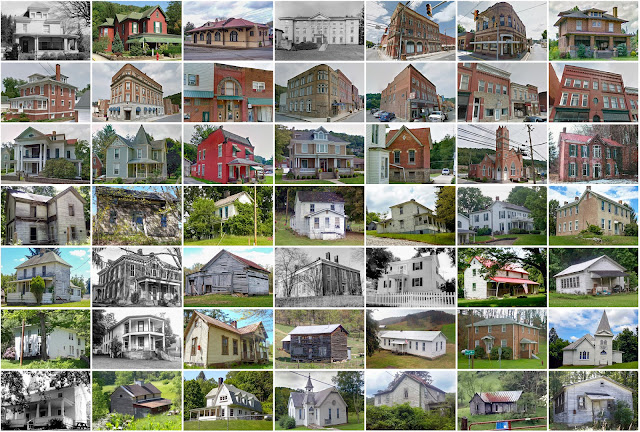
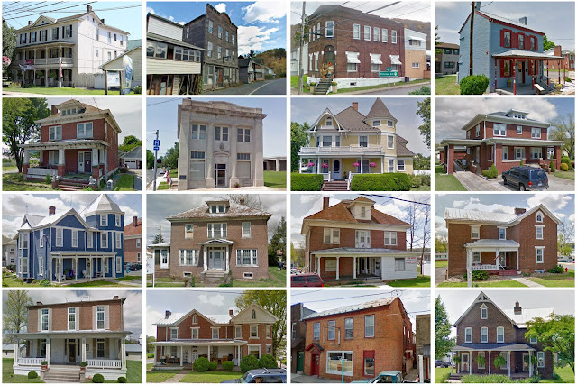
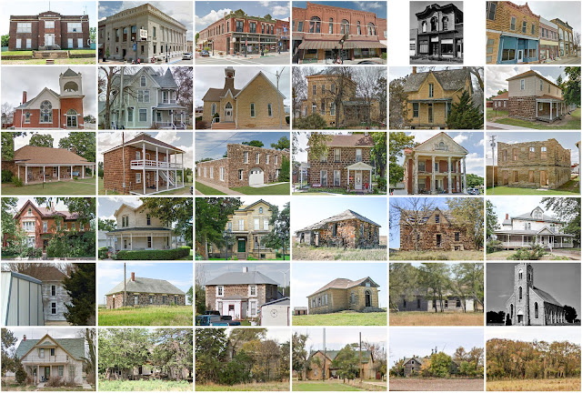
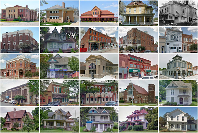
Jasper County, Illinois

Image
Founding:  1834 (declared in 1831) Parent counties:  Clay and Crawford Namesake:  William Jasper, South Carolina soldier Seat:  Newton (1835–) Land area:  495 square miles Population (2020):  9,287 Population (historic):  1,472 (1840); 8,364 (1860); 14,515 (1880); 20,160 (1900); 12,809 (1930) Periods of population growth:  pre-1840–1900; 1930s; 1970s Subdivisions:  One city; six villages; 11 townships National Register listings:   One Pre-1940 residences (estimated):  919 (21.1%) Pre-1940 housing survival rate:  27.6% Pre-1860 housing survival rate (1940):  1% Farm housing in disrepair (1950):  11.3% Nonfarm housing in disrepair (1950):  10.7% Average farmhouse value (1930):  $800 Average outbuilding value (1930):  $650 Average farmhouse size (1940):  5.4 rooms Number of farms (1920):  2,762 Average farm size (1920):  97.1 acres Sources of settlement:  Indiana, Ohio, Kentucky, and Germany ______________________________________________________________________

Clinton County, Michigan

Image
Founding:  1839 (declared in 1831) Parent county:  Unorganized territory Namesake:  DeWitt Clinton, New York governor Seat:  DeWitt (1839–1857); St. Johns (1857–) Land area:  566 square miles Population (2020):  79,128 Population (historic):  1,614 (1840); 13,916 (1860); 28,100 (1880); 25,136 (1900); 24,174 (1930) Periods of population growth:  pre-1840–1880; 1920–2020 Subdivisions:  Two cities; six villages; three CDPs; 16 townships National Register listings:   Six Pre-1940 residences (estimated):  4,727 (15.1%) Pre-1940 housing survival rate:  74.9% Pre-1860 housing survival rate (1940):  7.5% Farm housing in disrepair (1950):  5.9% Nonfarm housing in disrepair (1950):  6.1% Average farmhouse value (1930):  $2,123 Average outbuilding value (1930):  $2,191 Average farmhouse size (1940):  7.2 rooms Number of farms (1920):  3,323 Average farm size (1920):  83 acres Sources of settlement:  New York, Ohio, and Germany ___________________________________________

Gilmer County, West Virginia

Image
Founding:  1845 Parent counties:  Kanawha and Lewis Namesake:  Thomas Gilmer, Virginia governor Seat:  Glenville (1845–) Land area:  339 square miles Population (2020):  7,408 Population (historic):  3,475 (1850); 4,338 (1870); 9,746 (1890); 11,379 (1910); 10,641 (1930) Periods of population growth:  pre-1850–1900; 1930s; 1970s; 2000s Subdivisions:  Two towns National Register listings:   10 Pre-1940 residences (estimated):  616 (17.5%) Pre-1940 housing survival rate:  29.1% Pre-1860 housing survival rate (1940):  7.5% Farm housing in disrepair (1950):  24% Nonfarm housing in disrepair (1950):  20.9% Average farmhouse value (1930):  $813 Average outbuilding value (1930):  $369 Average farmhouse size (1940):  4.8 rooms Number of farms (1920):  1,526 Average farm size (1920):  80.4 acres _________________________________________________________________________________ Glenville Namesake:  A descriptive name Founding:  1845 (platting); 1845 (post office

Pendleton County, West Virginia

Image
Founding:  1788 Parent counties:  Augusta, Hardy, and Rockingham Namesake:  Edmund Pendleton, Virginia politician Seat:   Ruddle (1788–1794); Franklin (1794–) Land area:  696 square miles Population (2020):  6,143 Population (historic):  2,452 (1790); 6,271 (1830); 6,455 (1870); 9,167 (1900); 9,660 (1930) Periods of population growth:  pre-1790–1840; 1850–1940; 1970–2000 Subdivisions:  One town; one CDP National Register listings:   13 Pre-1940 residences (estimated):  1,065 (20.5%) Pre-1940 housing survival rate:  48.5% Pre-1860 housing survival rate (1940):  8% Farm housing in disrepair (1950):  23.9% Nonfarm housing in disrepair (1950):  26.8% Average farmhouse value (1930):  $983 Average outbuilding value (1930):  $644 Average farmhouse size (1940):  5.7 rooms Number of farms (1920):  1,342 Average farm size (1920):  82.7 acres _________________________________________________________________________________ Franklin Namesake:  Unclear—probably Ben

Barbour County, West Virginia

Image
Founding:  1843 Parent counties:  Harrison, Lewis, and Randolph Namesake:  Philip Barbour, Virginia politician Seat:  Philippi (1843–) Land area:  341 square miles Population (2020):  15,465 Population (historic):  9,005 (1850); 10,312 (1870); 12,702 (1890); 15,858 (1910); 18,628 (1930) Periods of population growth:  pre-1850; 1860–1940; 1970s; 2000s Subdivisions:  One city; two towns; two CDPs National Register listings:   12 Pre-1940 residences (estimated):  1,942 (24.6%) Pre-1940 housing survival rate:  33% Pre-1860 housing survival rate (1940):  10.2% Farm housing in disrepair (1950):  26.1% Nonfarm housing in disrepair (1950):  24.3% Average farmhouse value (1930):  $877 Average outbuilding value (1930):  $399 Average farmhouse size (1940):  5.2 rooms Number of farms (1920):  1,837 Average farm size (1920):  71.2 acres _________________________________________________________________________________ Philippi Namesake:  Philip Barbour, Virginia pol

Roane County, West Virginia

Image
Founding:  1856 Parent counties:  Gilmer, Jackson, and Kanawha Namesake:  Spencer Roane, Virginia politician Seat:  Spencer (1856–) Land area:  484 square miles Population (2020):  14,028 Population (historic):  5,381 (1860); 12,184 (1880); 19,852 (1900); 19,478 (1930) Periods of population growth:  pre-1860–1910; 1930s; 1970s; 1990s Subdivisions:  One city; one town National Register listings:   Six Pre-1940 residences (estimated):  1,473 (19.8%) Pre-1940 housing survival rate:  34.8% Pre-1860 housing survival rate (1940):  3.2% Farm housing in disrepair (1950):  21.9% Nonfarm housing in disrepair (1950):  17.7% Average farmhouse value (1930):  $969 Average outbuilding value (1930):  $438 Average farmhouse size (1940):  5.5 rooms Number of farms (1920):  2,448 Average farm size (1920):  78.4 acres _________________________________________________________________________________ Spencer Namesake:  Spencer Roane, Virginia politician Founding:  1856 (f

Lake County, Illinois

Image
Founding:  1839 Parent county:  McHenry Namesake:  Lake Michigan Seat:  Libertyville (1839–1844); Waukegan (1844–) Land area:  444 square miles Population (2020):  714,342 Population (historic):  2,634 (1840); 18,257 (1860); 21,296 (1880); 34,504 (1900); 104,387 (1930) Periods of population growth:  pre-1840–2020 Subdivisions:  Seven cities; 45 villages; nine CDPs; 18 townships National Register listings:   100 Pre-1940 residences (estimated):  22,244 (8.5%) Pre-1940 housing survival rate:  51.3% Pre-1860 housing survival rate (1940):  6.5% Farm housing in disrepair (1950):  5.6% Nonfarm housing in disrepair (1950):  4.3% Average farmhouse value (1930):  $4,896 Average outbuilding value (1930):  $5,212 Average farmhouse size (1940):  6.7 rooms Number of farms (1920):  2,220 Average farm size (1920):  75.2 acres Sources of settlement:  New York, Germany, Ireland, and Wisconsin _________________________________________________________________________________

Grant County, West Virginia

Image
Founding:  1866 Parent county:  Hardy Namesake:  Ulysses Grant, U.S. president Seat:   Laurelton (1866); Maysville (1866–1872); Petersburg (1872–) Land area:  477 square miles Population (2020):  10,976 Population (historic):  4,467 (1870); 6,802 (1890); 7,838 (1910); 8,441 (1930) Periods of population growth:  pre-1870–1920; 1930s; 1960–2010 Subdivisions:  One city; one town National Register listings:   Seven Pre-1940 residences (estimated):  1,133 (17.3%) Pre-1940 housing survival rate:  37.8% Farm housing in disrepair (1950):  17.9% Nonfarm housing in disrepair (1950):  16.1% Average farmhouse value (1930):  $856 Average outbuilding value (1930):  $539 Average farmhouse size (1940):  5.5 rooms Number of farms (1920):  793 Average farm size (1920):  121.4 acres _________________________________________________________________________________ Petersburg Namesake:  Jacob Peterson, local resident Founding:  pre-1872 (founding); 1874 (post office); 191

Preston County, West Virginia

Image
Founding:  1818 Parent county:  Monongalia Namesake:  James Preston, Virginia governor Seat:  Kingwood (1818–) Land area:  649 square miles Population ( 2020 ):  34,216 Population (historic):  3,422 (1820); 11,708 (1850); 14,555 (1870); 22,727 (1900); 29,043 (1930) Periods of population growth:  pre-1820–1950; 1970s; 1990–2020 Subdivisions:  One city; nine towns; one CDP National Register listings:   22 Pre-1940 residences (estimated):  3,295 (21.8%) Pre-1940 housing survival rate:  40.6% Pre-1860 housing survival rate (1940):  10.7% Farm housing in disrepair (1950):  21.2% Nonfarm housing in disrepair (1950): 16% Average farmhouse value (1930):  $909 Average outbuilding value (1930):  $641 Average farmhouse size (1940):  5.7 rooms Number of farms (1920):  2,406 Average farm size (1920):  63.1 acres _________________________________________________________________________________ Kingwood Namesake:  Unclear—perhaps a reference to the region's fores

Ellsworth County, Kansas

Image
Founding:  1867 Parent county:  Unorganized territory Namesake:  Fort Ellsworth Seat:  Ellsworth (1867–) Land area:  716 square miles Population (2020):  6,376 Population (historic):  1,185 (1870); 9,272 (1890); 10,444 (1910); 10,132 (1930) Periods of population growth:  1870s; 1970s Subdivisions:  Five cities; 19 townships National Register listings:   22 Pre-1940 residences (estimated):  1,151 (35.6%) Pre-1940 housing survival rate:  49.6% Farm housing in disrepair (1950):  15.1% Nonfarm housing in disrepair (1950):  16.2% Average farmhouse value (1930):  $1,529 Average outbuilding value (1930):  $1,309 Average farmhouse size (1940):  6.1 rooms Number of farms (1920):  1,228 Average farm size (1920):  210.5 acres Sources of settlement:  Pennsylvania, Ohio, Illinois, Czechoslovakia, Germany, and Iowa _________________________________________________________________________________ Ellsworth Namesake:  Fort Ellsworth Founding:  circa 1865 (founding);

Marshall County, Indiana

Image
Founding:  1836 (declared in 1835) Parent county:  St. Joseph Namesake:  John Marshall, Supreme Court chief justice Seat:  Plymouth (1836–) Land area:  444 square miles Population (2020):  46,095 Population (historic):  1,651 (1840); 12,722 (1860); 23,414 (1880); 25,119 (1900); 25,077 (1930) Periods of population growth:  pre-1840–1900; 1920–2010 Subdivisions:  One city; five towns; ten townships National Register listings:   33 Pre-1940 residences (estimated):  5,200 (25.9%) Pre-1940 housing survival rate:  62.3% Pre-1860 housing survival rate (1940):  8.8% Farm housing in disrepair (1950):  4.8% Nonfarm housing in disrepair (1950):  5.4% Average farmhouse value (1930):  $1,383 Average outbuilding value (1930):  $1,392 Average farmhouse size (1940):  6.7 rooms Number of farms (1920):  2,720 Average farm size (1920):  77.2 acres Sources of settlement:  Ohio, Pennsylvania, Germany, and New York __________________________________________________________________

Cass County, Iowa

Image
Founding:  1853 (declared in 1851) Parent county:  Pottawattamie Namesake:  Lewis Cass, Michigan politician Seat:  Lewis (1853–1869); Atlantic (1869–) Land area:  564 square miles Population (2020):  13,127 Population (historic):  1,612 (1860); 16,943 (1880); 21,274 (1900); 19,422 (1930) Periods of population growth:  pre-1860–1900; 1910s Subdivisions:  Eight cities; 16 townships National Register listings:   11 Pre-1940 residences (estimated):  2,809 (42.8%) Pre-1940 housing survival rate:  54.6% Pre-1860 housing survival rate (1940):  5.1% Farm housing in disrepair (1950):  5% Nonfarm housing in disrepair (1950):  5.1% Average farmhouse value (1930):  $2,169 Average outbuilding value (1930):  $2,539 Average farmhouse size (1940):  6.5 rooms Number of farms (1920):  2,182 Average farm size (1920):  149.7 acres Sources of settlement:  Illinois, Ohio, New York, Pennsylvania, Germany, Indiana, Ireland, England, and Sweden _____________________________________

Franklin County, Missouri

Image
Founding:  1819 Parent county:  St. Louis Namesake:  Benjamin Franklin, Founding Father Seat:   Newport (1818–1827); Union (1827–) Land area:  923 square miles Population (2020):  104,682 Population (historic):  2,379 (1820); 11,021 (1850); 30,098 (1870); 30,581 (1900); 30,519 (1930) Periods of population growth:  pre-1820–1870; 1880–1900; 1920–2020 Subdivisions:  Eight cities; four villages; two CDPs; ten townships National Register listings:   62 Pre-1940 residences (estimated):  4,350 (9.8%) Pre-1940 housing survival rate:  47.3% Pre-1860 housing survival rate (1940):  9.4% Farm housing in disrepair (1950):  8.8% Nonfarm housing in disrepair (1950):  6.8% Average farmhouse value (1930):  $1,263 Average outbuilding value (1930):  $955 Average farmhouse size (1940):  4.9 rooms Number of farms (1920):  3,845 Average farm size (1920):  75.6 acres Sources of settlement:  Germany, Virginia, and Kentucky ___________________________________________________________