Posts

Showing posts from May, 2020

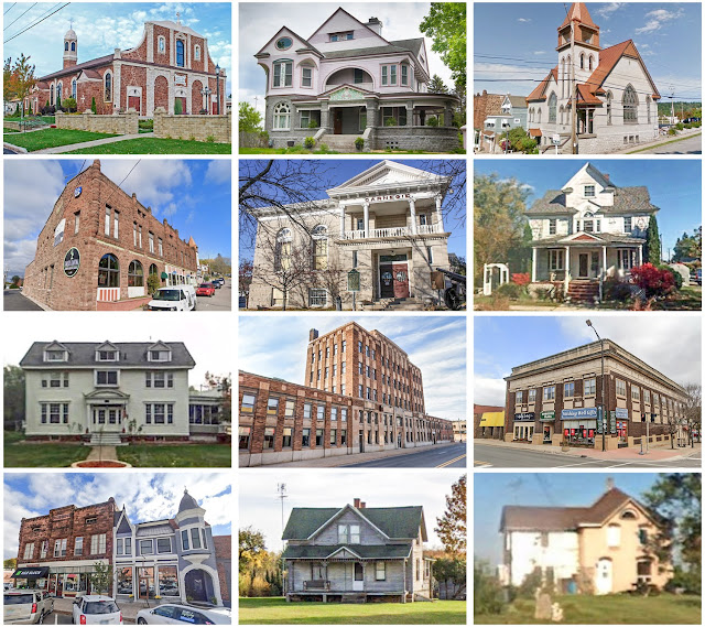
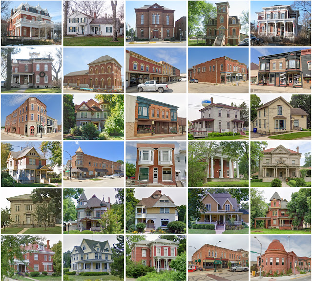
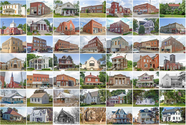
Ramsey County, Minnesota

Image
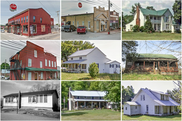
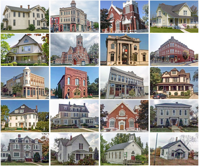
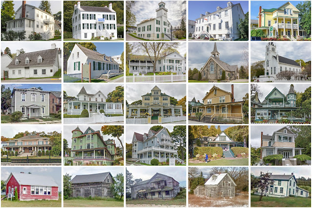
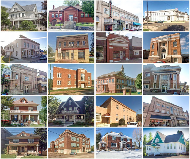
Founding:  1849 Parent counties:  Unorganized territory Namesake:  Alexander Ramsey, first Minnesota territorial governor Seat:  St. Paul (1849–) Land area:  152 square miles Population (2020):  552,352 Population (historic):  2,227 (1850); 23,085 (1870); 139,796 (1890); 223,675 (1910); 286,721 (1930) Periods of population growth:  1850–1910; 1920s; 1940–1970; 2010s Subdivisions:  17 cities; one township National Register listings:   131 Pre-1940 residences (estimated):  57,491 (26.1%) Pre-1940 housing survival rate:  64.1% Pre-1860 housing survival rate (1940):  5.8% Farm housing in disrepair (1950): 2.1% Nonfarm housing in disrepair (1950): 4% Average farmhouse value (1930):  $2,636 Average outbuilding value (1930):  $1,911 Average farmhouse size (1940):  5.7 rooms Number of farms (1920):  983 Average farm size (1920):  36.8 acres Sources of settlement:  Germany, Sweden, Ireland, New York, Canada, Wisconsin, and Pennsylvania ______________________________

Jackson County, Iowa

Image
Founding:  1837 Parent county:  Dubuque Namesake:  Andrew Jackson, U.S. president Seat:  Bellevue (1838–1841, 1848–1873); Andrew (1841–1848, 1848–1873); Maquoketa (1873–) Land area:  584 square miles Population (2020):  19,485 Population (historic):  1,411 (1840); 18,493 (1860); 23,771 (1880); 23,615 (1900); 18,481 (1930) Periods of population growth:  pre-1840–1880; 1890s; 1930s; 1950–1980; 1990s Subdivisions:  12 cities; 18 townships National Register listings:   77 Pre-1940 residences (estimated):  2,759 (29%) Pre-1940 housing survival rate:  59.7% Pre-1860 housing survival rate (1940):  6.8% Farm housing in disrepair (1950):  6.1% Nonfarm housing in disrepair (1950):  10% Average farmhouse value (1930):  $2,616 Average outbuilding value (1930):  $3,311 Average farmhouse size (1940):  7.1 rooms Number of farms (1920):  2,327 Average farm size (1920):  114.5 acres Sources of settlement:  Germany, New York, Pennsylvania, Ohio, Illinois, Luxembourg, and Irel

Asotin County, Washington

Image
Founding:  1883 Parent county:  Garfield Namesake:  Asotin Creek Seat:  Asotin (1883–) Land area:  636 square miles Population (2020):  22,285 Population (historic):  1,580 (1890); 5,831 (1910); 8,136 (1930) Periods of population growth:  pre-1890–2020 Subdivisions:  Two cities; two CDPs National Register listings:   Eight Pre-1940 residences (estimated):  1,288 (12.9%) Pre-1940 housing survival rate:  55.8% Farm housing in disrepair (1950):  7.5% Nonfarm housing in disrepair (1950):  3.9% Average farmhouse value (1930):  $1,287 Average outbuilding value (1930):  $942 Average farmhouse size (1940):  5.2 rooms Number of farms (1920):  578 Average farm size (1920):  166.8 acres Sources of settlement:  Washington, Missouri, Idaho, Iowa, Minnesota, and Germany _________________________________________________________________________________ Asotin Namesake:  Asotin Creek Founding:  1878 (platting); 1884 (post office); 1890 (incorporation) Population (2

Clay County, Tennessee

Image
Founding:  1870 Parent counties:  Jackson and Overton Namesake:  Henry Clay, Kentucky politician Seat:  Celina (1870–) Land area:  237 square miles Population (2020):  7,581 Population (historic):  6,987 (1880); 8,421 (1900); 9,577 (1930) Periods of population growth:  pre-1880–1940; 1970s; 1990s Subdivisions:  One city National Register listings:   Two Pre-1940 residences (estimated):  439 (10.1%) Pre-1940 housing survival rate:  12.9% Farm housing in disrepair (1950):  41.9% Nonfarm housing in disrepair (1950):  36.9% Average farmhouse value (1930):  $329 Average outbuilding value (1930):  $198 Average farmhouse size (1940):  4.1 rooms Number of farms (1920):  1,605 Average farm size (1920):  41.2 acres _________________________________________________________________________________ Celina Namesake:  Uncertain—perhaps the name of an early resident Founding:  1832 (platting); 1870 (replatting); 1870 (post office); 1909 (incorporation) Population (

Pickett County, Tennessee

Image
Founding:  1881 Parent counties:  Fentress and Overton Namesake:  Howard Pickett, Tennessee politician Seat:  Byrdstown (1881–) Land area:  163 square miles Population (2020):  5,001 Population (historic):  4,736 (1890); 5,087 (1910); 5,615 (1930) Periods of population growth:  pre-1890–1900; 1910–1940; 1970–2010 Subdivisions:  One town National Register listings:   Three Pre-1940 residences (estimated):  177 (5.1%) Pre-1940 housing survival rate:  14.9% Farm housing in disrepair (1950):  22.2% Nonfarm housing in disrepair (1950):  18.7% Average farmhouse value (1930):  $267 Average outbuilding value (1930):  $150 Average farmhouse size (1940):  4.1 rooms Number of farms (1920):  935 Average farm size (1920):  39 acres _________________________________________________________________________________ Byrdstown Namesake:  Robert Byrd, Tennessee politician Founding:  1879 (founding); 1882 (post office); 1917 (incorporation) Population (2020):  798 Po

Menominee County, Michigan

Image
Founding:  1863 (declared in 1861) Parent county:  Delta Namesake:  The Menominee River Seat:  Menominee (1863–) Land area:  1,044 square miles Population (2020):  23,502 Population (historic):  1,791 (1870); 33,639 (1890); 25,648 (1910); 23,652 (1930) Periods of population growth:  pre-1870–1890; 1930–1950; 1970s; 1990s Subdivisions:  Two cities; three villages; 14 townships National Register listings:   11 Pre-1940 residences (estimated):  3,256 (22.8%) Pre-1940 housing survival rate:  58.3% Farm housing in disrepair (1950):  14.6% Nonfarm housing in disrepair (1950):  10.3% Average farmhouse value (1930):  $1,104 Average outbuilding value (1930):  $1,061 Average farmhouse size (1940):  5.4 rooms Number of farms (1920):  2,106 Average farm size (1920):  40.5 acres Sources of settlement:  Michigan, Wisconsin, Sweden, Germany, Canada, France, and New York ___________________________________________________________________________________ Menominee Namesake:  The Me

Mackinac County, Michigan

Image
Founding:  1849 (declared in 1818) Parent counties:  Unorganized territory Namesake:  The Straits of Mackinac Seat:  Mackinac Island (1849–1882); St. Ignace (1882–) Land area:  1,022 square miles Population (2020):  10,834 Population (historic):  877 (1830); 1,938 (1860); 2,902 (1880); 7,703 (1900); 8,783 (1930) Periods of population growth:  pre-1830–1850; 1870–1890; 1900s; 1920–1940; 1950s; 1970–2000 Subdivisions:  Two cities; 11 townships National Register listings:   27 Pre-1940 residences (estimated):  1,832 (16.4%) Pre-1940 housing survival rate:  48.2% Pre-1860 housing survival rate (1940):  6.4% Farm housing in disrepair (1950):  16.6% Nonfarm housing in disrepair (1950):  14.1% Average farmhouse value (1930):  $879 Average outbuilding value (1930):  $865 Average farmhouse size (1940):  5.1 rooms Number of farms (1920):  479 Average farm size (1920):  45 acres Sources of settlement:  Michigan and Canada _______________________________________________________________

Gogebic County, Michigan

Image
Founding:  1887 Parent county:  Ontonagon Namesake:  Lake Gogebic Seat:  Bessemer (1887–) Land area:  1,102 square miles Population (2020):  14,380 Population (historic):  13,166 (1890); 23,333 (1910); 31,577 (1930) Periods of population growth:  pre-1890–1920 Subdivisions:  Three cities; two CDPs; six townships National Register listings:   11 Pre-1940 residences (estimated):  4,089 (37.8%) Pre-1940 housing survival rate:  54.6% Farm housing in disrepair (1950):  8.1% Nonfarm housing in disrepair (1950):  7.7% Average farmhouse value (1930):  $1,486 Average outbuilding value (1930):  $964 Number of farms (1920):  528 Average farm size (1920):  18.6 acres Sources of settlement:  Michigan, Sweden, Finland, Wisconsin, and England _________________________________________________________________________________ Bessemer Namesake:  Henry Bessemer, inventor of the Bessemer process Founding:  1884 (platting); 1884 (post office); 1887 (incorporation) Population (202

Iron County, Michigan

Image
Founding:  1885 Parent counties:  Marquette and Menominee Namesake:  Iron deposits within the county Seat:  Iron River (1885–1888); Crystal Falls (1888–) Land area:  1,166 square miles Population (2020):  11,631 Population (historic):  4,432 (1890); 15,164 (1910); 20,805 (1930) Periods of population growth:  pre-1890–1920 Subdivisions:  Five cities; two villages; one CDP; seven townships National Register listings:   80 Pre-1940 residences (estimated):  2,738 (29.4%) Pre-1940 housing survival rate:  52.2% Farm housing in disrepair (1950):  13.1% Nonfarm housing in disrepair (1950):  11.3% Average farmhouse value (1930):  $1,092 Average outbuilding value (1930):  $871 Average farmhouse size (1940):  5.1 rooms Number of farms (1920):  621 Average farm size (1920):  22.7 acres Sources of settlement:  Michigan, Sweden, Finland, and Wisconsin ___________________________________________________________________________________ Crystal Falls Namesake:  A waterfall on t

Dickinson County, Michigan

Image
Founding:  1891 Parent counties:  Marquette, Menominee, and Iron Namesake:  Donald Dickinson, Michigan politician Seat:  Iron Mountain (1891–) Land area:  761 square miles Population (2020):  25,947 Population (historic):  17,890 (1900); 20,524 (1910); 19,456 (1920); 29,941 (1930) Periods of population growth:  pre-1900–1910; 1920s; 1970–2000 Subdivisions:  Three cities; one CDP; seven townships National Register listings:   10 Pre-1940 residences (estimated):  3,615 (25.7%) Pre-1940 housing survival rate:  58.8% Farm housing in disrepair (1950):  3.4% Nonfarm housing in disrepair (1950):  5% Average farmhouse value (1930):  $990 Average outbuilding value (1930):  $965 Average farmhouse size (1940):  5.1 rooms Number of farms (1920):  429 Average farm size (1920):  35.3 acres Sources of settlement:  Michigan, Sweden, Italy, Wisconsin, Austria, England, and France ___________________________________________________________________________________ Iron Mountain Names

DeKalb County, Illinois

Image
Founding:  1837 Parent county:  Kane Namesake:  Johann de Kalb, Continental Army general Seat:  Sycamore (1837–) Land area:  631 square miles Population (2020):  100,420 Population (historic):  1,697 (1840); 19,086 (1860); 26,768 (1880); 31,756 (1900); 32,644 (1930) Periods of population growth:  pre-1840–1910; 1920–2010 Subdivisions:  Four cities; one town; seven villages; 19 townships National Register listings:   18 Pre-1940 residences (estimated):  7,784 (18.9%) Pre-1940 housing survival rate:  74% Pre-1860 housing survival rate (1940):  11% Farm housing in disrepair (1950):  6.7% Nonfarm housing in disrepair (1950):  4.6% Average farmhouse value (1930):  $2,642 Average outbuilding value (1930):  $3,966 Average farmhouse size (1940):  7.5 rooms Number of farms (1920):  2,400 Average farm size (1920):  147.4 acres Sources of settlement:  New York, Pennsylvania, Germany, Sweden, Ireland, England, and Canada _________________________________________________

Alpena County, Michigan

Image
Founding:  1857 (declared in 1840) Parent county:  Unorganized territory Namesake:  A neologism coined by Henry Schoolcraft Seat:  Alpena (1857–) Land area:  572 square miles Population (2020):  28,907 Population (historic):  290 (1860); 8,789 (1880); 18,254 (1900); 18,574 (1930) Periods of population growth:  1860–1910; 1920–1980; 1990s Subdivisions:  One city; one village; one CDP; eight townships National Register listings:   11 Pre-1940 residences (estimated):  2,306 (14.4%) Pre-1940 housing survival rate:  52.5% Farm housing in disrepair (1950):  14.6% Nonfarm housing in disrepair (1950):  6.1% Average farmhouse value (1930):  $1,012 Average outbuilding value (1930):  $990 Average farmhouse size (1940):  5.4 rooms Number of farms (1920):  1,275 Average farm size (1920):  49.6 acres Sources of settlement:  Michigan, Canada, Germany, France, New York, Poland, and Ireland ___________________________________________________________________________________ Alpena N

Benzie County, Michigan

Image
Founding:  1869 (declared in 1863) Parent county:  Unorganized territory Namesake:  The Betsie River Seat:  Frankfort (1869–1872, 1895–1908); Benzonia (1872–1895); Honor (1908–1916); Beulah (1916–) Land area:  320 square miles Population (2020):  17,970 Population (historic):  2,184 (1870); 5,237 (1890); 10,638 (1910); 6,587 (1930) Periods of population growth:  pre-1870–1910; 1930–1950; 1960–2020 Subdivisions:  One city; six villages; seven CDPs; 12 townships National Register listings:   Nine Pre-1940 residences (estimated):  1,581 (12.7%) Pre-1940 housing survival rate:  62.9% Farm housing in disrepair (1950):  18.7% Nonfarm housing in disrepair (1950):  7% Average farmhouse value (1930):  $1,128 Average outbuilding value (1930):  $776 Average farmhouse size (1940):  5.7 rooms Number of farms (1920):  972 Average farm size (1920):  50.5 acres Sources of settlement:  Michigan, New York, Canada, Ohio, Indiana, and Norway _____________________________________________________

Livingston County, Missouri

Image
Founding:  1837 Parent counties:  Chariton and unorganized territory Namesake:  Edward Livingston, New York politician Seat:  Chillicothe (1837–) Land area:  532 square miles Population (2020):  14,557 Population (historic):  4,325 (1840); 7,417 (1860); 20,196 (1880); 22,302 (1900); 18,615 (1930) Periods of population growth:  pre-1840; 1850–1900; 1970s; 2000s Subdivisions:  Three cities; three villages; one CDP; 13 townships National Register listings:   Four Pre-1940 residences (estimated):  1,372 (20.2%) Pre-1940 housing survival rate:  32.9% Pre-1860 housing survival rate (1940):  3.1% Farm housing in disrepair (1950):  7.1% Nonfarm housing in disrepair (1950):  11.3% Average farmhouse value (1930):  $1,187 Average outbuilding value (1930):  $1,031 Average farmhouse size (1940):  5.3 rooms Number of farms (1920):  2,316 Average farm size (1920):  109.4 acres Sources of settlement:  Ohio, Illinois, Kentucky, Indiana, Pennsylvania, Virginia, and New York _________________