Posts

Showing posts from February, 2020

Stark County, Illinois

Image
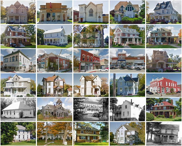
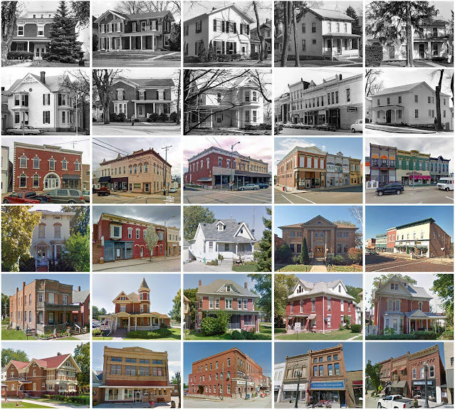
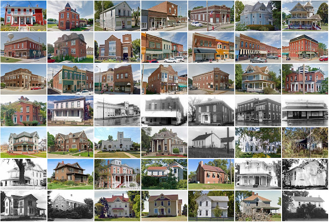
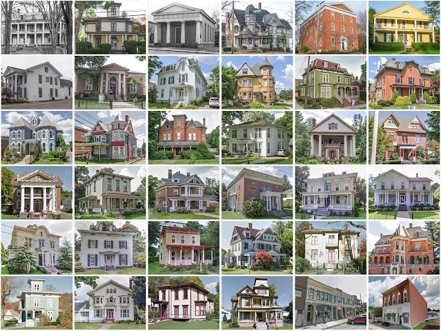
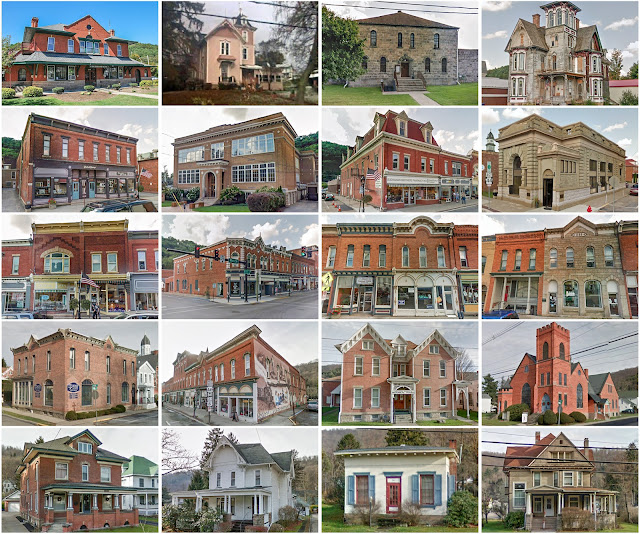
Founding:  1839 Parent counties:  Knox and Putnam Namesake:  John Stark, Continental Army officer Seat:  Toulon (1841–) Land area:  288 square miles Population (2020):  5,400 Population (historic):  1,573 (1840); 9,004 (1860); 11,207 (1880); 10,186 (1900); 9,184 (1930) Periods of population growth:  pre-1840–1880; 1890s Subdivisions:  Two cities; two villages; eight townships National Register listings:   One Pre-1940 residences (estimated):  1,101 (41.4%) Pre-1940 housing survival rate:  53% Pre-1860 housing survival rate (1940):  12.4% Farm housing in disrepair (1950):  7.3% Nonfarm housing in disrepair (1950):  8.1% Average farmhouse value (1930):  $2,528 Average outbuilding value (1930):  $3,055 Average farmhouse size (1940):  7 rooms Number of farms (1920):  1,077 Average farm size (1920):  146.2 acres Sources of settlement:  Ohio, Pennsylvania, New York, and Ireland _________________________________________________________________________________ To

Carroll County, Illinois

Image
Founding:  1839 Parent county:  Jo Daviess Namesake:  Charles Carroll, Maryland politician Seat:  Savanna (1839–1843); Mount Carroll (1843–) Land area:  445 square miles Population (2020):  15,702 Population (historic):  1,023 (1840); 11,733 (1860); 16,976 (1880); 18,963 (1900); 18,433 (1930) Periods of population growth:  pre-1840–1900; 1910s; 1940–1960; 2010s Subdivisions:  Three cities; four villages; 12 townships National Register listings:   Seven Pre-1940 residences (estimated):  3,161 (37.4%) Pre-1940 housing survival rate:  61.9% Pre-1860 housing survival rate (1940):  10.8% Farm housing in disrepair (1950):  3.4% Nonfarm housing in disrepair (1950):  5.3% Average farmhouse value (1930):  $2,258 Average outbuilding value (1930):  $3,008 Average farmhouse size (1940):  7.3 rooms Number of farms (1920):  1,769 Average farm size (1920):  127.1 acres Sources of settlement:  Pennsylvania, Germany, New York, Maryland, and Ireland __________________________

Brown County, Illinois

Image
Founding:  1839 Parent county:  Schuyler Namesake:  Jacob Brown, U.S. army officer Seat:  Mount Sterling (1839–) Land area:  306 square miles Population (2020):  6,244 Population (historic):  4,183 (1840); 9,938 (1860); 13,041 (1880); 11,557 (1900); 7,892 (1930) Periods of population growth:  pre-1840–1880; 1930s; 1980–2000 Subdivisions:  One city; three villages; nine townships National Register listings:   Three Pre-1940 residences (estimated):  769 (31.4%) Pre-1940 housing survival rate:  42% Pre-1860 housing survival rate (1940):  6.4% Farm housing in disrepair (1950):  9.5% Nonfarm housing in disrepair (1950):  8.1% Average farmhouse value (1930):  $1,156 Average outbuilding value (1930):  $1,080 Average farmhouse size (1940):  5.7 rooms Number of farms (1920):  1,352 Average farm size (1920):  91.1 acres Sources of settlement:  Ohio, Kentucky, Ireland, Germany, and Pennsylvania ___________________________________________________________________________

Schuyler County, Illinois

Image
Founding:  1825 Parent counties:  Fulton, Pike, and unorganized territory Namesake:  Philip Schuyler, New York politician Seat:  Rushville (1826–) Land area:  437 square miles Population (2020):  6,902 Population (historic):  6,972 (1840); 14,684 (1860); 16,249 (1880); 16,129 (1900); 11,676 (1930) Periods of population growth:  pre-1840–1870; 1890s; 1970s; 2000s Subdivisions:  One city; three villages; 13 townships National Register listings:   Two Pre-1940 residences (estimated):  1,170 (33.9%) Pre-1940 housing survival rate:  33.9% Pre-1860 housing survival rate (1940):  4.6% Farm housing in disrepair (1950):  7.8% Nonfarm housing in disrepair (1950):  8% Average farmhouse value (1930):  $1,779 Average outbuilding value (1930):  $1,265 Average farmhouse size (1940):  6.1 rooms Number of farms (1920):  1,778 Average farm size (1920):  99.9 acres Sources of settlement:  Ohio, Pennsylvania, Kentucky, and Indiana _______________________________________________

Mercer County, Illinois

Image
Founding:  1835 (declared in 1825) Parent county:  Unorganized territory Namesake:  Hugh Mercer, Continental Army general Seat:  Millersburg (1835–1857); Aledo (1857–) Land area:  561 square miles Population (2020):  15,699 Population (historic):  2,352 (1840); 15,042 (1860); 19,502 (1880); 20,945 (1900); 16,641 (1930) Periods of population growth:  1830–1880; 1890s; 1930s; 1960–1980 Subdivisions:  Three cities; nine villages; 15 townships National Register listings:   13 Pre-1940 residences (estimated):  2,941 (39.7%) Pre-1940 housing survival rate:  55.2% Pre-1860 housing survival rate (1940):  8.2% Farm housing in disrepair (1950):  5.1% Nonfarm housing in disrepair (1950):  5.9% Average farmhouse value (1930):  $2,738 Average outbuilding value (1930):  $2,795 Average farmhouse size (1940):  6.7 rooms Number of farms (1920):  2,022 Average farm size (1920):  129.7 acres Sources of settlement:  Pennsylvania, Ohio, Sweden, Indiana, and Ireland _____________

Crawford County, Pennsylvania

Image
Founding:  1800 Parent county:  Allegheny Namesake:  William Crawford, American soldier Seat:  Meadville (1800–) Land area:  1,012 square miles Population (2020):  83,938 Population (historic):  2,346 (1800); 31,724 (1840); 63,832 (1870); 63,643 (1900); 62,980 (1930) Periods of population growth:  pre-1800–1880; 1920–1950; 1960–1980; 1990s Subdivisions:  Two cities; 14 boroughs; 15 CDPs; 35 townships National Register listings:   21 Pre-1940 residences (estimated):  12,406 (27.7%) Pre-1940 housing survival rate:  61.6% Pre-1860 housing survival rate (1940):  21% Farm housing in disrepair (1950):  11% Nonfarm housing in disrepair (1950):  6% Average farmhouse value (1930):  $1,565 Average outbuilding value (1930):  $1,257 Average farmhouse size (1940):  7.2 rooms Number of farms (1920):  6,521 Average farm size (1920):  52.3 acres _________________________________________________________________________________ Meadville Namesake:  David Mead, founder o

Carroll County, Missouri

Image
Founding:  1833 Parent county:  Unorganized territory Namesake:  Charles Carroll, Maryland politician Seat:  Carrollton (1833–) Land area:  695 square miles Population (2020):  8,495 Population (historic):  2,423 (1840); 9,763 (1860); 23,274 (1880); 26,455 (1900); 19,940 (1930) Periods of population growth:  pre-1840–1900 Subdivisions:  Seven cities; one village; 20 townships National Register listings:   Six Pre-1940 residences (estimated):  1,227 (26.4%) Pre-1940 housing survival rate:  29.2% Pre-1860 housing survival rate (1940):  6.7% Farm housing in disrepair (1950):  9.5% Nonfarm housing in disrepair (1950):  11.1% Average farmhouse value (1930):  $1,443 Average outbuilding value (1930):  $1,094 Average farmhouse value (1940):  5.2 rooms Number of farms (1920):  3,077 Average farm size (1920):  123.3 acres Sources of settlement:  Ohio, Kentucky, Illinois, Indiana, Tennessee, and Virginia __________________________________________________________________

Potter County, Pennsylvania

Image
Founding:  1835 (declared in 1804) Parent county:  Lycoming Namesake:  James Potter, Pennsylvania politician Seat:  Coudersport (1835–) Land area:  1,081 square miles Population (2020):  16,396 Population (historic):  1,265 (1830); 11,470 (1860); 13,797 (1880); 30,621 (1900); 17,489 (1930) Periods of population growth:  1820–1860; 1870–1900; 1930s; 1970s; 1990s Subdivisions:  Six boroughs; two CDPs; 24 townships National Register listings:   Five Pre-1940 residences (estimated):  3,596 (27.7%) Pre-1940 housing survival rate:  70.5% Pre-1860 housing survival rate (1940):  10.1% Farm housing in disrepair (1950):  18% Nonfarm housing in disrepair (1950):  12.9% Average farmhouse value (1930):  $1,176 Average outbuilding value (1930):  $1,239 Average farmhouse size (1940):  7 rooms Number of farms (1920):  1,866 Average farm size (1920):  61 acres _________________________________________________________________________________ Coudersport Namesake:  Uncle

Osage County, Missouri

Image
Founding:  1841 Parent county:  Gasconade Namesake:  The Osage River Seat:  Linn (1843–) Land area:  604 square miles Population (2020):  13,274 Population (historic):  6,704 (1850); 10,793 (1870); 13,080 (1890); 14,283 (1910); 12,462 (1930) Periods of population growth:  pre-1850–1910; 1960–2010 Subdivisions:  Four cities; two villages; six townships National Register listings:   Nine Pre-1940 residences (estimated):  922 (14%) Pre-1940 housing survival rate:  42.8% Pre-1860 housing survival rate (1940):  8.3% Farm housing in disrepair (1950):  15% Nonfarm housing in disrepair (1950):  10% Average farmhouse value (1930):  $908 Average outbuilding value (1930):  $788 Average farmhouse size (1940):  4.7 rooms Number of farms (1920):  1,979 Average farm size (1920):  80.7 acres Sources of settlement:  Germany and Tennessee _____________________________________________________________________________ Linn Namesake:  Lewis Linn, Missouri politician Foundi

Franklin County, New York

Image
Founding:  1808 Parent county:  Clinton Namesake:  Benjamin Franklin, Founding Father Seat:  Malone (1808–) Land area:  1,629 square miles Population (2020):  47,555 Population (historic):  2,617 (1810); 16,518 (1840); 30,271 (1870); 42,853 (1900); 45,694 (1930) Periods of population growth:  pre-1810–1860; 1870–1910; 1920s; 1940s; 1970–2010 Subdivisions:  Six villages; four CDPs; 19 towns National Register listings:   86 Pre-1940 residences (estimated):  8,844 (34.6%) Pre-1940 housing survival rate:  74.6% Pre-1860 housing survival rate (1940):  20.8% Farm housing in disrepair (1950):  8.5% Nonfarm housing in disrepair (1950):  7.7% Average farmhouse value (1930):  $1,582 Average outbuilding value (1930):  $1,556 Average farmhouse size (1940):  6.9 rooms Number of farms (1920):  3,299 Average farm size (1920):  54.2 acres _________________________________________________________________________________ Malone Namesake:  Unknown Founding:  1807 (post

Sanilac County, Michigan

Image
Founding:  1849 (declared in 1822) Parent counties:  Unorganized territory Namesake:  Sanilac, Wyandot chief Seat:  Lexington (1849–1879); Sandusky (1879–) Land area:  963 square miles Population (2020):  40,611 Population (historic):  2,112 (1850); 14,562 (1870); 32,589 (1890); 33,930 (1910); 27,751 (1930) Periods of population growth:  pre-1850–1900; 1930–1980; 1990s Subdivisions:  Four cities; nine villages; one CDP; 26 townships National Register listings:   12 Pre-1940 residences (estimated):  4,790 (20.8%) Pre-1940 housing survival rate:  57.5% Pre-1860 housing survival rate (1940):  8.2% Farm housing in disrepair (1950):  12% Nonfarm housing in disrepair (1950):  8.1% Average farmhouse value (1930):  $1,161 Average outbuilding value (1930):  $1,386 Average farmhouse size (1940):  6.9 rooms Number of farms (1920):  5,112 Average farm size (1920):  88.9 acres Sources of settlement:  Canada, Germany, New York, Ireland, and England __________________________

Oakland County, Michigan

Image
Founding:  1820 (declared in 1819) Parent county:  Unorganized territory Namesake:  The county's oak forests Seat:  Pontiac (1820–) Land area:  868 square miles Population (2020):  1,274,395 Population (historic):  4,911 (1830); 38,261 (1860); 41,547 (1880); 44,792 (1900); 211,251 (1930) Periods of population growth:  1820–1880; 1890–2020 Subdivisions:  29 cities; ten villages; 25 townships National Register listings:   84 Pre-1940 residences (estimated):  41,831 (7.8%) Pre-1940 housing survival rate:  54.5% Pre-1860 housing survival rate (1940): 19.1% Farm housing in disrepair (1950):  5.9% Nonfarm housing in disrepair (1950):  3.5% Average farmhouse value (1930):  $2,959 Average outbuilding value (1930):  $3,195 Average farmhouse size (1940):  6.6 rooms Number of farms (1920):  4,035 Average farm size (1920):  84.4 acres Sources of settlement:  New York, England, Canada, New Jersey, Ireland, and Germany _________________________________________________