Posts

Showing posts from July, 2022

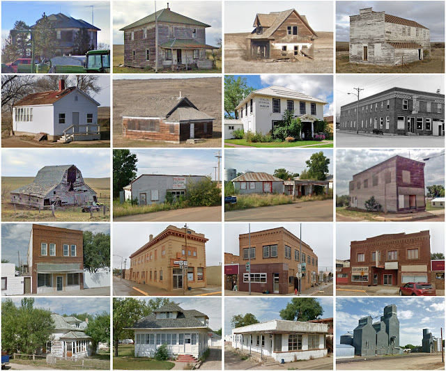
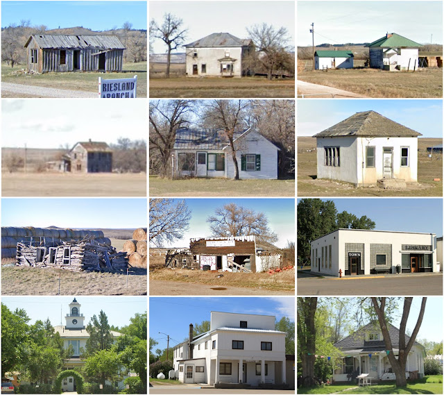
Worcester County, Maryland

Image
Founding:  1742 Parent county:  Somerset Namesake:  The Marquess of Worcester Seat:  Snow Hill (1742–) Land area:  468 square miles Population (2020):  52,460 Population (historic):  11,640 (1790); 18,377 (1840); 16,419 (1870); 20,865 (1900); 21,624 (1930) Periods of population growth:  pre-1790–1860; 1870–1920; 1940–2020 Subdivisions:  One city; three towns; seven CDPs National Register listings:   33 Pre-1940 residences (estimated):  2,796 (4.9%) Pre-1940 housing survival rate:  42.4% Pre-1860 housing survival rate (1940):  13.7% Farm housing in disrepair (1950):  15% Nonfarm housing in disrepair (1950):  8.6% Average farmhouse value (1930):  $1,135 Average outbuilding value (1930):  $741 Average farmhouse size (1940):  5.8 rooms Number of farms (1920):  2,334 Average farm size (1920):  49.1 acres _________________________________________________________________________________   Snow Hill   Namesake:  Unknown—perhaps Snow Hill, London Founding:  1686 (founding); 1792 (post office);

McPherson County, Nebraska

Image
Founding:  1890 (declared in 1887) Parent county:  Unorganized territory Namesake:  James McPherson, Union general Seat:  Tryon (1890–) Land area:  859 square miles Population (2020):  399 Population (historic):  401 (1890); 2,470 (1910); 1,358 (1930) Periods of population growth:  pre-1890–1910 Subdivisions:  One CDP National Register listings:   One Pre-1940 residences (estimated):  58 (23.1%) Pre-1940 housing survival rate:  25.4% Farm housing in disrepair (1950):  20.2% Nonfarm housing in disrepair (1950):  20.3% Average farmhouse value (1930):  $814 Average outbuilding value (1930):  $864 Average farmhouse size (1940):  4.2 rooms Number of farms (1920):  355 Average farm size (1920):  295.1 acres Sources of settlement:  Nebraska, Iowa, Illinois, Kansas, and Missouri _________________________________________________________________________________   Tryon   Namesake:  Unknown Founding:  1890 (platting); 1893 (post office) Population (2020):  107 Pre-1940 residences (estimated):  11

Wheatland County, Montana

Image
Founding:  1917 Parent counties:  Meagher and Sweet Grass Namesake:  Wheat farms within the county Seat:  Harlowton (1917–) Land area:  1,423 square miles Population (2020):  2,069 Population (historic):  5,619 (1920); 3,751 (1930); 3,286 (1940) Periods of population growth:  pre-1920 Subdivisions:  Two cities; five CDPs National Register listings:   Three Pre-1940 residences (estimated):  429 (34.7%) Pre-1940 housing survival rate:  45.5% Farm housing in disrepair (1950):  8.8% Nonfarm housing in disrepair (1950):  4% Average farmhouse value (1930):  $1,018 Average outbuilding value (1930):  $1,543 Average farmhouse size (1940):  4.9 rooms Number of farms (1920):  688 Average farm size (1920):  298.1 acres Sources of settlement:  Minnesota, Wisconsin, Iowa, South Dakota, and Canada _________________________________________________________________________________   Harlowton   Namesake:  Richard Harlow, railroad promoter Founding:  1900 (platting as Merino ); 1900 (post office); 1908 (

McCone County, Montana

Image
Founding:  1919 Parent counties:  Dawson and Richland Namesake:  George McCone, Montana senator Seat:  Circle (1919–) Land area:  2,643 square miles Population (2020):  1,729 Population (historic):  4,747 (1920); 4,790 (1930); 3,744 (1940) Periods of population growth:  pre-1920 Subdivisions:  One town; three CDPs National Register listings:   Two Pre-1940 residences (estimated):  263 (23.2%) Pre-1940 housing survival rate:  20.6% Farm housing in disrepair (1950):  11% Nonfarm housing in disrepair (1950):  11.4% Average farmhouse value (1930):  $619 Average outbuilding value (1930):  $573 Average farmhouse size (1940):  3.5 rooms Number of farms (1920):  1,284 Average farm size (1920):  178.8 acres Sources of settlement:  Minnesota, Wisconsin, North Dakota, Illinois, Norway, and South Dakota _________________________________________________________________________________   Circle   Namesake:  The nearby Circle Ranch Founding:  1902 (post office); 1914 (platting) Population (2020):  59

Liberty County, Montana

Image
Founding:  1920 Parent counties:  Chouteau and Hill Namesake:  The American ideal of liberty Seat:  Chester (1920–) Land area:  1,430 square miles Population (2020):  1,959 Population (historic):  2,416 (1920); 2,198 (1930); 2,209 (1940) Periods of population growth:  pre-1920; 1950s; 2000s Subdivisions:  One town; five CDPs National Register listings:   Three Pre-1940 residences (estimated):  278 (24.1%) Pre-1940 housing survival rate:  38.3% Farm housing in disrepair (1950):  4.3% Nonfarm housing in disrepair (1950):  4.1% Average farmhouse value (1930):  $748 Average outbuilding value (1930):  $677 Average farmhouse size (1940):  4 rooms Number of farms (1920):  515 Average farm size (1920):  192.7 acres _________________________________________________________________________________   Chester   Namesake:  Chester, Pennsylvania Founding:  circa 1891 (founding); 1895 (post office); 1910 (incorporation) Population (2020):  847 Population (historic):  402 (1920); 387 (1930); 548 (1940

Lamoille County, Vermont

Image
Founding:  1836 Parent counties:  Chittenden, Franklin, Orleans, and Washington Namesake:  The Lamoille River Seat:  Hyde Park (1836–) Land area:  459 square miles Population (2020):  25,945 Population (historic):  10,475 (1840); 12,311 (1860); 12,684 (1880); 12,289 (1900); 10,947 (1930) Periods of population growth:  pre-1840–1890; 1900s; 1930–1950; 1960–2020 Subdivisions:  Five villages; three CDPs; 10 towns National Register listings:   30 Pre-1940 residences (estimated):  2,650 (19.2%) Pre-1940 housing survival rate:  83.8% Pre-1860 housing survival rate (1940):  34.7% Farm housing in disrepair (1950):  16.3% Nonfarm housing in disrepair (1950):  14.3% Average farmhouse value (1930):  $1,271 Average outbuilding value (1930):  $1,051 Average farmhouse size (1940):  7.6 rooms Number of farms (1920):  1,599 Average farm size (1920):  46 acres _________________________________________________________________________________   Hyde Park   Namesake:  Jedediah Hyde, early resident Foundin

Fallon County, Montana

Image
Founding:  1913 Parent county:  Custer Namesake:  Benjamin O'Fallon, Indian agent Seat:  Baker (1913–) Land area:  1,621 square miles Population (2020):  3,049 Population (historic):  4,548 (1920); 4,568 (1930) Periods of population growth:  pre-1920; 1950–1970; 2000–2020 Subdivisions:  One city; one town National Register listings:   Three Pre-1940 residences (estimated):  339 (21.2%) Pre-1940 housing survival rate:  25.1% Farm housing in disrepair (1950):  9.6% Nonfarm housing in disrepair (1950):  10% Average farmhouse value (1930):  $792 Average outbuilding value (1930):  $797 Average farmhouse size (1940):  4.3 rooms Number of farms (1920):  758 Average farm size (1920):  226.7 acres Sources of settlement:  Minnesota, Wisconsin, Iowa, South Dakota, and Russia _________________________________________________________________________________   Baker   Namesake:  A.G. Baker, railroad engineer Founding:  1908 (platting); 1908 (post office) Population (2020):  1,802 Population (his

Powder River County, Montana

Image
Founding:  1919 Parent county:  Custer Namesake:  The Powder River Seat:  Broadus (1920–) Land area:  3,297 square miles Population (2020):  1,694 Population (historic):  3,357 (1920); 3,909 (1930); 3,159 (1940) Periods of population growth:  pre-1920–1930; 1960s Subdivisions:  One town; one CDP National Register listings:   Two Pre-1940 residences (estimated):  117 (11.3%) Pre-1940 housing survival rate:  14.3% Farm housing in disrepair (1950):  17.8% Nonfarm housing in disrepair (1950):  14.6% Average farmhouse value (1930):  $620 Average outbuilding value (1930):  $522 Average farmhouse size (1940):  3.1 rooms Number of farms (1920):  833 Average farm size (1920):  90.3 acres _________________________________________________________________________________   Broadus   Namesake:  Uncertain—likely a local resident Founding:  1900 (post off

Daniels County, Montana

Image
Founding:  1920 Parent county:  Sheridan and Valley Namesake:  Mansfield Daniels, local rancher Seat:  Scobey (1920–) Land area:  1,426 square miles Population (2020):  1,661 Population (historic):  5,553 (1930); 4,563 (1940) Periods of population growth:  pre-1930 Subdivisions:  One city; one town National Register listings:   Three Pre-1940 residences (estimated):  266 (22.5%) Pre-1940 housing survival rate:  30.4% Farm housing in disrepair (1950):  12.2% Nonfarm housing in disrepair (1950):  8% Average farmhouse value (1930):  $846 Average outbuilding value (1930):  $739 Average farmhouse size (1940):  4 rooms Number of farms (1930):  906 Sources of settlement:  Minnesota, North Dakota, Canada, Iowa, and Norway _________________________________________________________________________________   Scobey   Namesake:  Charles Scobey, local rancher Founding:  1901 (post office); 1913 (platting); 1913 (incorporation) Population (2020):  999 Population (historic):  1,170 (1920); 1,259 (1930

Carter County, Montana

Image
Founding:  1917 Parent county:  Fallon Namesake:  Thomas Carter, Montana politician Seat:  Ekalaka (1917–) Land area:  3,341 square miles Population (2020):  1,415 Population (historic):  3,972 (1920); 4,136 (1930); 3,280 (1940) Periods of population growth:  pre-1920–1930; 2010s Subdivisions:  One town; one CDP National Register listings:   Two Pre-1940 residences (estimated):  124 (15.2%) Pre-1940 housing survival rate:  20.8% Farm housing in disrepair (1950):  19.6% Nonfarm housing in disrepair (1950):  17.4% Average farmhouse value (1930):  $593 Average outbuilding value (1930):  $610 Average farmhouse size (1940):  3.6 rooms Number of farms (1920):  855 Average farm size (1920):  98 acres Sources of settlement:  South Dakota, Iowa, Nebraska, and Missouri _________________________________________________________________________________   Ekalaka   Namesake:  Ijkalaka, wife of David Russell, founder of the town Founding:  1885 (founding); 1885 (post office) Population (2020):  399 P

Garfield County, Montana

Image
Founding:  1919 Parent county:  Dawson Namesake:  James Garfield, U.S. president Seat:  Jordan (1919–) Land area:  4,675 square miles Population (2020):  1,173 Population (historic):  5,368 (1920); 4,252 (1930); 2,641 (1940) Periods of population growth:  pre-1920 Subdivisions:  One town National Register listings:   One Pre-1940 residences (estimated):  107 (13.7%) Pre-1940 housing survival rate:  31% Farm housing in disrepair (1950):  21.7% Nonfarm housing in disrepair (1950):  6.8% Average farmhouse value (1930):  $388 Average outbuilding value (1930):  $375 Average farmhouse size (1940):  3 rooms Number of farms (1920):  1,530 Average farm size (1920):  89.3 acres Sources of settlement:  Missouri, Minnesota, Iowa, Illinois, and Russia _________________________________________________________________________________   Jordan   Namesake:  Unknown Founding:  1899 (post office); 1951 (incorporation) Population (2020):  356 Pre-1940 residences (estimated):  58 (26.9%) __________________