Posts

Showing posts from June, 2021

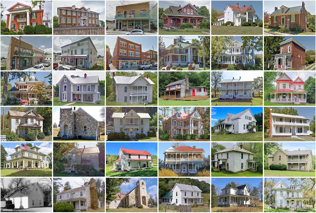
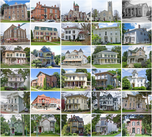
Weston County, Wyoming

Image
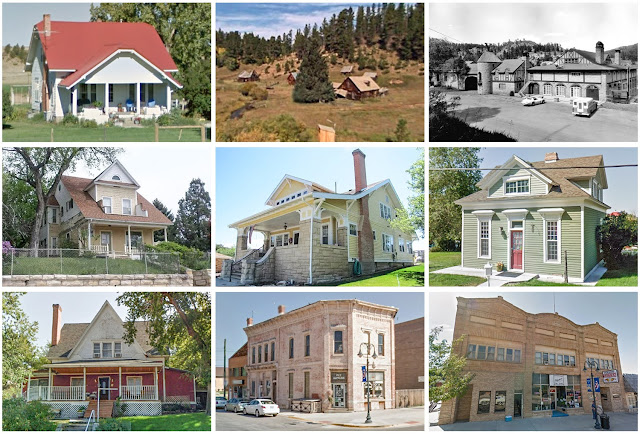
Founding:  1890 Parent county:  Crook Namesake:  John Weston, railroad surveyor Seat:  Newcastle (1890–) Land area:  2,398 square miles Population (2020):  6,838 Population (historic):  2,422 (1890); 4,960 (1910); 4,673 (1930) Periods of population growth:  pre-1890–1910; 1920–1960; 1970s; 1990–2010 Subdivisions:  One city; one town; two CDPs National Register listings:   Seven Pre-1940 residences (estimated):  507 (14.2%) Pre-1940 housing survival rate:  26.6% Farm housing in disrepair (1950):  9.9% Nonfarm housing in disrepair (1950):  25.4% Average farmhouse value (1930):  $567 Average outbuilding value (1930):  $603 Average farmhouse size (1940):  4.1 rooms Number of farms (1920):  721 Average farm size (1920):  95.2 acres _________________________________________________________________________________   Newcastle   Namesake:  Newcastle-upon-Tyne, England Founding:  1889 (platting); 1889 (post office); 1889 (incorporation) Population (2020):  3,374 Population (historic):  1,715 (1

Sullivan County, New York

Image
Founding:  1809 Parent county:  Ulster Namesake:  John Sullivan, Continental Army general Seat:  Monticello (1809–) Land area:  968 square miles Population (2020):  78,624 Population (historic):  6,108 (1810); 15,629 (1840); 34,550 (1870); 32,306 (1900); 35,272 (1930) Periods of population growth:  pre-1810–1870; 1890 –1910;  1920 –2020 Subdivisions:  Six villages; 25 CDPs; 15 towns National Register listings:   82 Pre-1940 residences (estimated):  11,314 (22.3%) Pre-1940 housing survival rate:  42.8% Pre-1860 housing survival rate (1940):  15% Farm housing in disrepair (1950):  5.6% Nonfarm housing in disrepair (1950):  3.4% Average farmhouse value (1930):  $4,321 Average outbuilding value (1930):  $3,128 Average farmhouse size (1940):  6.5 rooms Number of farms (1920):  3,543 Average farm size (1920):  43.6 acres _________________________________________________________________________________   Monticello   Namesake:  Monticello, Thomas Jefferson's estate Founding:  1804 (platti

Nelson County, Virginia

Image
Founding:  1808 Parent county:  Amherst Namesake:  Thomas Nelson, Jr., Virginia politician Seat:  Lovingston (1807–) Land area:  471 square miles Population (2020):  14,775 Population (historic):  9,684 (1810); 12,287 (1840); 13,898 (1870); 16,075 (1900); 16,345 (1930) Periods of population growth:  pre-1810–1880; 1890–1920; 1970–2010 Subdivisions:  Five CDPs National Register listings:   29 Pre-1940 residences (estimated):  1,455 (14.3%) Pre-1940 housing survival rate:  33.9% Pre-1860 housing survival rate (1940):  22.5% Farm housing in disrepair (1950):  29.4% Nonfarm housing in disrepair (1950):  33.2% Average farmhouse value (1930):  $1,035 Average outbuilding value (1930):  $554 Average farmhouse size (1940):  5.2 rooms Number of farms (1920):  2,066 Average farm size (1920):  48.2 acres _________________________________________________________________________________   Lovingston   Namesake:  The Loving family, who owned the city site Founding:  1807 (platting); 1811 (post office

Hardin County, Iowa

Image
Founding:  1853 (declared in 1851) Parent county:  Unorganized territory Namesake:  John Hardin, Illinois politician Seat:  Eldora (1853–) Land area:  569 square miles Population (2020):  16,878 Population (historic):  5,440 (1860); 17,807 (1880); 22,794 (1900); 22,947 (1930) Periods of population growth:  pre-1860–1900; 1910s; 1950s Subdivisions:  12 cities; one CDP; 15 townships National Register listings:   35 Pre-1940 residences (estimated):  3,252 (39.8%) Pre-1940 housing survival rate:  54.7% Farm housing in disrepair (1950):  5.7% Nonfarm housing in disrepair (1950):  4.9% Average farmhouse value (1930):  $2,519 Average outbuilding value (1930):  $3,214 Average farmhouse size (1940):  6.9 rooms Number of farms (1920):  2,129 Average farm size (1920):  141.4 acres Sources of settlement:  Illinois, Iowa, New York, Ohio, Germany, Pennsylvania, and Indiana _________________________________________________________________________________   Eldora   Namesake:  Unknown Founding:  1853

Floyd County, Iowa

Image
Founding:  1854 (declared in 1851) Parent county:  Unorganized territory Namesake:  Charles Floyd, U.S. army officer Seat:  Charles City (1854–) Land area:  501 square miles Population (2020):  15,627 Population (historic):  3,744 (1860); 14,677 (1880); 17,754 (1900); 19,524 (1930) Periods of population growth:  pre-1860–1900; 1910 –1950 Subdivisions:  Seven cities; 12 townships National Register listings:   21 Pre-1940 residences (estimated):  2,718 (35.9%) Pre-1940 housing survival rate:  45.3% Farm housing in disrepair (1950):  6.8% Nonfarm housing in disrepair (1950):  5.5% Average farmhouse value (1930):  $2,085 Average outbuilding value (1930):  $2,928 Average farmhouse size (1940):  6.8 rooms Number of farms (1920):  1,916 Average farm size (1920):  132.8 acres Sources of settlement:  New York, Wisconsin, Germany, Illinois, and New England _________________________________________________________________________________   Charles City   Namesake:  Unknown Founding:  1854 (platti

Chenango County, New York

Image
Founding:  1798 Parent counties:  Herkimer and Tioga Namesake:  The Chenango River Seat:  Norwich (1798–) Land area:  894 square miles Population (2020):  47,220 Population (historic):  15,666 (1800); 40,785 (1840); 40,564 (1870); 36,568 (1900); 34,665 (1930) Periods of population growth:  pre-1800–1840; 1850s; 1930–1990 Subdivisions:  One city; eight villages; two CDPs; 21 towns National Register listings:   47 Pre-1940 residences (estimated):  9,364 (36.5%) Pre-1940 housing survival rate:  75.3% Pre-1860 housing survival rate (1940):  37.3% Farm housing in disrepair (1950):  11.2% Nonfarm housing in disrepair (1950):  7.9% Average farmhouse value (1930):  $1,561 Average outbuilding value (1930):  $1,682 Average farmhouse size (1940):  8 rooms Number of farms (1920):  3,838 Average farm size (1920):  82 acres _________________________________________________________________________________   Norwich   Namesake:  Norwich, England Founding:  circa 1790 (founding); 1805 (post office); 18

Nottoway County, Virginia

Image
Founding:  1789 Parent county:  Amelia Namesake:  The Nottoway River Seat:  Nottoway (1789–) Land area:  314 square miles Population (2020):  15,642 Population (historic):  9,401 (1800); 9,719 (1840); 9,291 (1870); 12,366 (1900); 14,866 (1930) Periods of population growth:  pre-1800; 1810–1830; 1850–1940; 1970–2010 Subdivisions:  Three towns; one CDP National Register listings:   12 Pre-1940 residences (estimated):  1,168 (17.2%) Pre-1940 housing survival rate:  31.2% Pre-1860 housing survival rate (1940):  24.6% Farm housing in disrepair (1950):  27.5% Nonfarm housing in disrepair (1950):  16.6% Average farmhouse value (1930):  $1,121 Average outbuilding value (1930):  $415 Average farmhouse size (1940):  5.2 rooms Number of farms (1920):  1,058 Average farm size (1920):  35.8 acres _________________________________________________________________________________   Nottoway   Namesake:  Nottoway County Founding:  1789 (founding); 1802 (post office) Population (2020):  63 Pre-1940 resi

Floyd County, Virginia

Image
Founding:  1831 Parent county:  Montgomery Namesake:  John Floyd, Virginia governor Seat:  Floyd (1832–) Land area:  381 square miles Population (2020):  15,476 Population (historic):  4,453 (1840); 9,824 (1870); 15,388 (1900); 11,698 (1930) Periods of population growth:  pre-1840–1900; 1930s; 1970–2020 Subdivisions:  One town National Register listings:   10 Pre-1940 residences (estimated):  1,037 (12.9%) Pre-1940 housing survival rate:  43.8% Pre-1860 housing survival rate (1940):  7.3% Farm housing in disrepair (1950):  16.6% Nonfarm housing in disrepair (1950):  19.3% Average farmhouse value (1930):  $754 Average outbuilding value (1930):  $354 Average farmhouse size (1940):  5.5 rooms Number of farms (1920):  2,333 Average farm size (1920):  68.9 acres _________________________________________________________________________________   Floyd   Namesake:  John Floyd, Virginia governor Founding:  1832 (platting as Jacksonville ); 1832 (post office); 1858 (incorporation) Population (2

Genesee County, New York

Image
Founding:  1803 (declared in 1802) Parent county:  Ontario Namesake:  The Genesee River Seat:  Batavia (1803–) Land area:  493 square miles Population (2020):  58,388 Population (historic):  12,588 (1810); 28,488 (1850); 31,606 (1870); 34,561 (1900); 44,468 (1930) Periods of population growth:  pre-1810–1860; 1870–2000 Subdivisions:  One city; seven villages; one CDP; 13 towns National Register listings:   26 Pre-1940 residences (estimated):  10,054 (39%) Pre-1940 housing survival rate:  82.4% Pre-1860 housing survival rate (1940):  31.5% Farm housing in disrepair (1950):  11.7% Nonfarm housing in disrepair (1950):  6.5% Average farmhouse value (1930):  $2,513 Average outbuilding value (1930):  $2,688 Average farmhouse size (1940):  7.8 rooms Number of farms (1920):  2,885 Average farm size (1920):  76 acres _________________________________________________________________________________   Batavia   Namesake:  The region of Batavia, in the Netherlands Founding:  1801 (platting); 1802