Posts

Showing posts from December, 2021

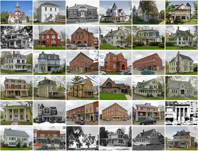
Dakota County, Nebraska

Image
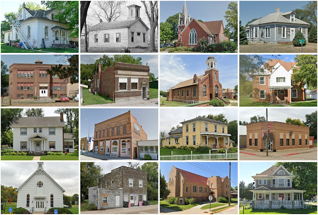
Founding:  1855 Parent county:  Burt Namesake:  The Dakota Sioux tribe Seat:  Dakota City (1856–) Land area:  264 square miles Population (2020):  21,582 Population (historic):  819 (1860); 3,213 (1880); 6,286 (1900); 9,505 (1930) Periods of population growth:  pre-1860–1900; 1910–1930; 1950s; 1970s; 1990s Subdivisions:  Two cities; four villages National Register listings:   Five Pre-1940 residences (estimated):  1,081 (13.8%) Pre-1940 housing survival rate:  43.5% Farm housing in disrepair (1950):  16.4% Nonfarm housing in disrepair (1950):  13.2% Average farmhouse value (1930):  $2,208 Average outbuilding value (1930):  $2,147 Average farmhouse size (1940):  6 rooms Number of farms (1920):  740 Average farm size (1920):  159.3 acres Sources of settlement:  Iowa, Germany, Pennsylvania, Minnesota, Illinois, Ireland, and Denmark _________________________________________________________________________________   Dakota City   Namesake:  The Dakota Sioux tribe Founding:  1856 (platting);

Clay County, Georgia

Image
Founding:  1854 Parent counties:  Early and Randolph Namesake:  Henry Clay, Kentucky senator Seat:  Fort Gaines (1854–) Land area:  195 square miles Population (2020):  2,848 Population (historic):  4,893 (1860); 6,650 (1880); 8,568 (1900); 6,943 (1930) Periods of population growth:  pre-1860–1910 Subdivisions:  Two cities National Register listings:   Seven Pre-1940 residences (estimated):  305 (14.7%) Pre-1940 housing survival rate:  14.2% Pre-1860 housing survival rate (1940):  4.3% Farm housing in disrepair (1950):  45.2% Nonfarm housing in disrepair (1950):  34.4% Average farmhouse value (1930):  $446 Average outbuilding value (1930):  $173 Average farmhouse size (1940):  3.8 rooms Number of farms (1920):  1,235 Average farm size (1920):  60.5 acres _________________________________________________________________________________   Fort Gaines   Namesake:  A nearby fort along the Chattahoochee River Founding:  1816 (platting); 1825 (post office); 1830 (incorporation) Population (2

Wayne County, New York

Image
Founding:  1823 Parent counties:  Ontario and Seneca Namesake:  Anthony Wayne, Continental Army general Seat:  Lyons (1823–) Land area:  604 square miles Population (2020):  91,283 Population (historic):  33,643 (1830); 47,762 (1860); 51,700 (1880); 48,660 (1900); 49,995 (1930) Periods of population growth:  pre-1830–1860; 1870s; 1900s; 1920–2010 Subdivisions:  Seven villages; ten CDPs; 15 towns National Register listings:   40 Pre-1940 residences (estimated):  13,376 (32%) Pre-1940 housing survival rate:  86.6% Pre-1860 housing survival rate (1940):  32.8% Farm housing in disrepair (1950):  8.5% Nonfarm housing in disrepair (1950):  5.8% Average farmhouse value (1930):  $2,199 Average outbuilding value (1930):  $2,098 Average farmhouse size (1940):  7.7 rooms Number of farms (1920):  4,980 Average farm size (1920):  57 acres _________________________________________________________________________________   Lyons   Namesake:  Lyon, France Founding:  circa 1796 (founding); 1811 (post o

Knox County, Maine

Image
Founding:  1860 Parent counties:  Lincoln and Waldo Namesake:  Henry Knox, Continental Amy general Seat:  Rockland (1860–) Land area:  365 square miles Population (2020):  40,607 Population (historic):  32,716 (1860); 32,863 (1880); 30,406 (1900); 27,693 (1930) Periods of population growth:  pre-1860; 1970–1990 Subdivisions:  One city; one plantation; two territories; two CDPs; 16 towns National Register listings:   100 Pre-1940 residences (estimated):  8,042 (33%) Pre-1940 housing survival rate:  80.9% Pre-1860 housing survival rate (1940):  41.4% Farm housing in disrepair (1950):  13.8% Nonfarm housing in disrepair (1950):  8.4% Average farmhouse value (1930):  $1,234 Average outbuilding value (1930):  $695 Average farmhouse size (1940):  6.9 rooms Number of farms (1920):  1,427 Average farm size (1920):  23.9 acres _________________________________________________________________________________   Rockland   Namesake:  Uncertain—likely a descriptive name Founding:  1770s (founding);

Somerset County, Maine

Image
Founding:  1809 Parent county:  Kennebec Namesake:  Somerset, England Seat:  Skowhegan (1809–) Land area:  3,924 square miles Population (2020):  50,477 Population (historic):  12,910 (1810); 33,912 (1840); 34,611 (1870); 33,849 (1900); 39,111 (1930) Periods of population growth:  pre-1810–1830; 1970–1990 Subdivisions:  Eight CDPs; six plantations; four territories; 27 towns National Register listings:   60 Pre-1940 residences (estimated):  7,773 (25.2%) Pre-1940 housing survival rate:  66.6% Pre-1860 housing survival rate (1940):  34.1% Farm housing in disrepair (1950):  19.3% Nonfarm housing in disrepair (1950):  12.3% Average farmhouse value (1930):  $1,172 Average outbuilding value (1930):  $899 Average farmhouse size (1940):  6.7 rooms Number of farms (1920):  3,646 Average farm size (1920):  49.5 acres _________________________________________________________________________________   Skowhegan   Namesake:  An Abenaki word meaning "fishing place" Founding:  1771 (foundi

Aroostook County, Maine

Image
Founding:  1839 Parent counties:  Penobscot and Washington Namesake:  The Aroostook River Seat:  Houlton (1839–) Land area:  6,671 square miles Population (2020):  67,105 Population (historic):  9,413 (1840); 22,479 (1860); 41,700 (1880); 60,744 (1900); 87,843 (1930) Periods of population growth:  pre-1840–1910; 1950s Subdivisions:  Two cities; 15 CDPs; seven territories; 53 towns National Register listings:   65 Pre-1940 residences (estimated):  9,140 (22.9%) Pre-1940 housing survival rate:  56% Pre-1860 housing survival rate (1940):  7.4% Farm housing in disrepair (1950):  19.5% Nonfarm housing in disrepair (1950):  16.4% Average farmhouse value (1930):  $1,965 Average outbuilding value (1930):  $1,956 Average farmhouse size (1940):  6.3 rooms Number of farms (1920):  6,741 Average farm size (1920):  66.9 acres Sources of settlement:  Maine, Canada, and Sweden _________________________________________________________________________________   Houlton   Namesake:  Joseph Houlton, owne

Jefferson County, Wisconsin

Image
Founding:  1839 (declared in 1836) Parent county:  Milwaukee Namesake:  Jefferson County, New York Seat:  Jefferson (1839–) Land area:  556 square miles Population (2020):  84,900 Population (historic):  914 (1840); 30,438 (1860); 32,156 (1880); 34,789 (1900); 36,785 (1930) Periods of population growth:  pre-1840–1870; 1880–1900; 1910–2020 Subdivisions:  Five cities; three villages; six CDPs; 16 towns National Register listings:   59 Pre-1940 residences (estimated):  8,505 (23.7%) Pre-1940 housing survival rate:  81.8% Pre-1860 housing survival rate (1940):  12.2% Farm housing in disrepair (1950):  8% Nonfarm housing in disrepair (1950):  3.7% Average farmhouse value (1930):  $2,505 Average outbuilding value (1930):  $3,007 Average farmhouse size (1940):  7.4 rooms Number of farms (1920):  3,263 Average farm size (1920):  66.8 acres Sources of settlement:  Germany, New York, Ireland, and England _________________________________________________________________________________   Jeffers