Posts

Showing posts from January, 2020

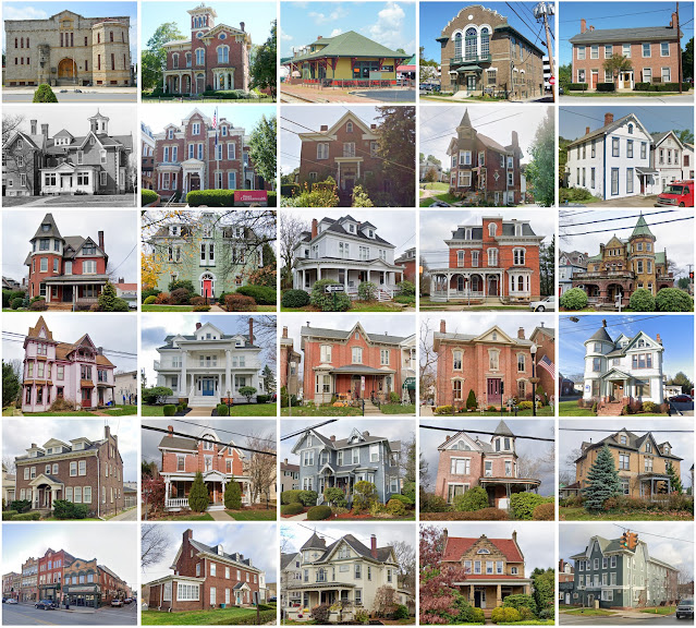
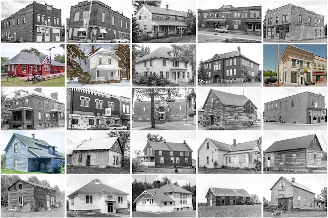
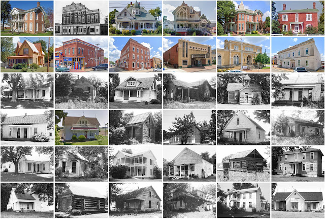
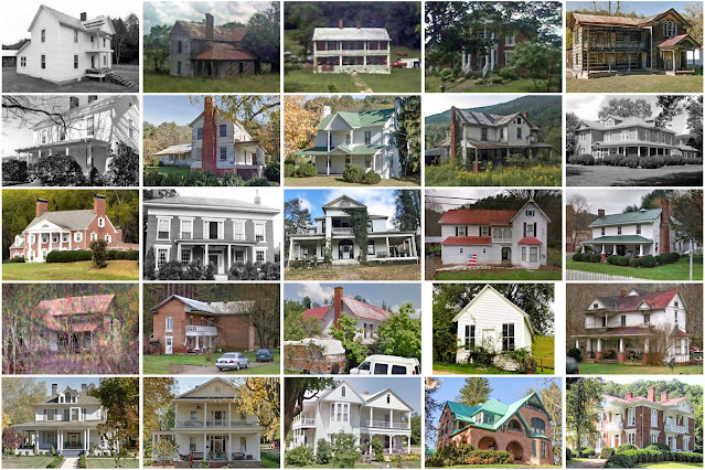
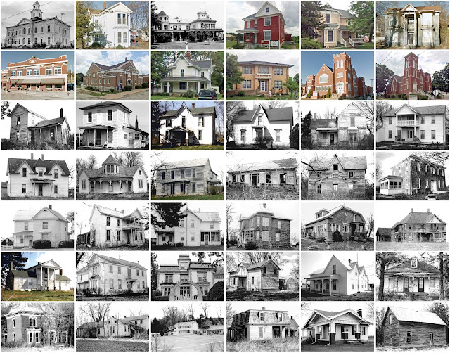
Forest County, Wisconsin

Image
Founding:  1885 Parent counties:  Langlade and Oconto Namesake:  Forests within the county Seat:  Crandon (1885–) Land area:  1,014 square miles Population (2020):  9,179 Population (historic):  1,012 (1890); 1,396 (1900); 6,782 (1910); 9,850 (1920); 11,118 (1930) Periods of population growth:  pre-1890–1940; 1960–1980; 1990s Subdivisions:  One city; five CDPs; 14 towns National Register listings:   10 Pre-1940 residences (estimated):  1,336 (14.6%) Pre-1940 housing survival rate:  46.1% Farm housing in disrepair (1950):  19.5% Nonfarm housing in disrepair (1950):  19.7% Average farmhouse value (1930):  $908 Average outbuilding value (1930):  $993 Average farmhouse size (1940):  4.4 rooms Number of farms (1920):  535 Average farm size (1920):  31.7 acres Sources of settlement:  Wisconsin, Michigan, Germany, and Russia _________________________________________________________________________________ Crandon Namesake:  Frank Crandon, Wisconsin tax commis

Fayette County, West Virginia

Image
Founding:  1831 Parent counties:  Greenbrier, Kanawha, Logan, and Nicholas Namesake:  The Marquis de Lafayette, Continental Army general Seat:   New Haven (1831–1830s); Fayetteville (1830s–) Land area:  662 square miles Population (2020):  40,488 Population (historic):  3,924 (1840); 5,997 (1860); 11,560 (1880); 31,987 (1900); 72,050 (1930) Periods of population growth:  pre-1840–1950; 1970s Subdivisions:  Four cities; six towns; 18 CDPs National Register listings:   28 Pre-1940 residences (estimated):  4,664 (21.6%) Pre-1940 housing survival rate:  27% Pre-1860 housing survival rate (1940):  7% Farm housing in disrepair (1950):  22.2% Nonfarm housing in disrepair (1950):  16.7% Average farmhouse value (1930):  $988 Average outbuilding value (1930):  $438 Average farmhouse size (1940):  5 rooms Number of farms (1920):  1,461 Average farm size (1920):  32.5 acres _________________________________________________________________________________ Fayettevill

Mason County, Illinois

Image
Founding:  1841 Parent counties:  Menard and Tazewell Namesake:  George Mason, Virginia politician Seat:  Bath (1844–1851); Havana (1841–1844, 1851–) Land area:  539 square miles Population (2020):  13,086 Population (historic):  5,921 (1850); 16,184 (1870); 16,067 (1890); 17,377 (1910); 15,115 (1930) Periods of population growth:  pre-1850–1880; 1890s; 1930s; 1960–1980 Subdivisions:  Two cities; one town; six villages; one CDP; 13 townships National Register listings:   Four Pre-1940 residences (estimated):  2,135 (30.2%) Pre-1940 housing survival rate:  48.5% Pre-1860 housing survival rate (1940):  12.5% Farm housing in disrepair (1950):  7.9% Nonfarm housing in disrepair (1950):  12.6% Average farmhouse value (1930):  $1,850 Average outbuilding value (1930):  $1,821 Average farmhouse size (1940):  5.8 rooms Number of farms (1920):  1,558 Average farm size (1920):  172.7 acres Sources of settlement:  Germany, Ohio, Pennsylvania, Indiana, and Kentucky _____

Indiana County, Pennsylvania

Image
Founding:  1806 (declared in 1803) Parent counties:  Lycoming and Westmoreland Namesake:  A reference to the 1768 Treaty of Fort Stanwix Seat:  Indiana (1806–) Land area:  827 square miles Population (2020):  83,246 Population (historic):  6,214 (1810); 20,782 (1840); 36,138 (1870); 42,556 (1900); 75,395 (1930) Periods of population growth:  pre-1810–1920; 1930s; 1960–1980 Subdivisions:  14 boroughs; 11 CDPs; 24 townships National Register listings:   24 Pre-1940 residences (estimated):  9,984 (25.7%) Pre-1940 housing survival rate:  54.7% Pre-1860 housing survival rate (1940):  15.7% Farm housing in disrepair (1950):  12.2% Nonfarm housing in disrepair (1950):  8.8% Average farmhouse value (1930):  $1,537 Average outbuilding value (1930):  $1,497 Average farmhouse size (1940):  6.2 rooms Number of farms (1920):  3,935 Average farm size (1920):  70.6 acres _________________________________________________________________________________ Indiana Namesak

Brunswick County, North Carolina

Image
Founding:  1764 Parent counties:  Bladen and New Hanover Namesake:  Brunswick, Germany Seat:   Brunswick Town (1764–1779); Lockwood's Folly  (1779–1808); Southport (1808–1977); Bolivia (1977–) Land area:  847 square miles Population (2020):  136,693 Population (historic):  3,071 (1790); 6,516 (1830); 8,406 (1860); 10,900 (1890); 15,818 (1930) Periods of population growth:  pre-1790–1830; 1840–1860; 1870–2020 Subdivisions:  Three cities; 15 towns; one village National Register listings:   16 Pre-1940 residences (estimated):  750 (0.9%) Pre-1940 housing survival rate:  24.4% Pre-1860 housing survival rate (1940):  5.6% Farm housing in disrepair (1950):  22.1% Nonfarm housing in disrepair (1950):  19.8% Average farmhouse value (1930):  $419 Average outbuilding value (1930):  $174 Number of farms (1920):  1,417 Average farm size (1920):  20.2 acres _________________________________________________________________________________ Southport  (ex-seat) Na

Iron County, Wisconsin

Image
Founding:  1893 Parent counties:  Ashland and Oneida Namesake:  Iron deposits within the county Seat:  Hurley (1893–) Land area:  758 square miles Population (2020):  6,137 Population (historic):  6,616 (1900); 8,306 (1910); 10,261 (1920); 9,933 (1930) Periods of population growth:  pre-1900–1920; 1930s; 1970s; 1990s; 2010s Subdivisions:  Two cities; four CDPs; ten towns National Register listings:   Five Pre-1940 residences (estimated):  1,071 (17.8%) Pre-1940 housing survival rate:  52.1% Farm housing in disrepair (1950):  7% Nonfarm housing in disrepair (1950):  6.7% Average farmhouse value (1930):  $921 Average outbuilding value (1930):  $715 Average farmhouse size (1940):  4.1 rooms Number of farms (1920):  381 Average farm size (1920):  26.3 acres Sources of settlement:  Wisconsin, Sweden, Finland, Michigan, and Italy _________________________________________________________________________________ Hurley Namesake:  M.A. Hurley, Wisconsin attorne

Massac County, Illinois

Image
Founding:  1843 Parent counties:  Johnson and Pope Namesake:  Fort Massac Seat:  Metropolis (1843–) Land area:  237 square miles Population (2020):  14,169 Population (historic):  4,092 (1850); 9,581 (1870); 11,313 (1890); 14,200 (1910); 14,081 (1930) Periods of population growth:  pre-1850–1910; 1920–1940; 1950s; 1970s; 1990–2010 Subdivisions:  Two cities; one village National Register listings:   Four Pre-1940 residences (estimated):  1,027 (14.4%) Pre-1940 housing survival rate:  35.6% Pre-1860 housing survival rate (1940):  1.8% Farm housing in disrepair (1950):  13.3% Nonfarm housing in disrepair (1950):  16.3% Average farmhouse value (1930):  $750 Average outbuilding value (1930):  $646 Average farmhouse size (1940):  4.3 rooms Number of farms (1920):  1,192 Average farm size (1920):  79 acres Sources of settlement:  Kentucky, Tennessee, Ohio, and Germany _________________________________________________________________________________ Metropolis

Johnson County, Tennessee

Image
Founding:  1836 Parent county:  Carter Namesake:  Thomas Johnson, local resident Seat:  Mountain City (1836–) Land area:  298 square miles Population (2020):  17,948 Population (historic):  2,658 (1840); 5,018 (1860); 7,766 (1880); 10,589 (1900); 12,209 (1930) Periods of population growth:  pre-1840–1910; 1930s; 1960–2010 Subdivisions:  One town National Register listings:   Eight Pre-1940 residences (estimated):  670 (7.4%) Pre-1940 housing survival rate:  30.9% Pre-1860 housing survival rate (1940):  6.1% Farm housing in disrepair (1950):  21.8% Nonfarm housing in disrepair (1950):  29.7% Average farmhouse value (1930):  $958 Average outbuilding value (1930):  $322 Average farmhouse size (1940):  4.7 rooms Number of farms (1920):  1,672 Average farm size (1920):  40 acres _________________________________________________________________________________ Mountain City Namesake:  The locale's rugged terrain Founding:  1836 (platting as Taylorsvill

Somerset County, Pennsylvania

Image
Founding:  1795 Parent county:  Bedford Namesake:  Somerset, England Seat:  Somerset (1795–) Land area:  1,081 square miles Population (2020):  74,129 Population (historic):  10,188 (1800); 17,762 (1830); 26,778 (1860); 37,317 (1890); 80,764 (1930) Periods of population growth:  pre-1800–1920; 1930s; 1970s; 1990s Subdivisions:  23 boroughs; five CDPs; 25 townships National Register listings:   32 Pre-1940 residences (estimated):  11,251 (29.3%) Pre-1940 housing survival rate:  59.3% Pre-1860 housing survival rate (1940):  21.3% Farm housing in disrepair (1950):  12.3% Nonfarm housing in disrepair (1950):  10.8% Average farmhouse value (1930):  $1,774 Average outbuilding value (1930):  $1,552 Average farmhouse size (1940):  6.7 rooms Number of farms (1920):  3,630 Average farm size (1920):  64.7 acres _________________________________________________________________________________ Somerset Namesake:  Somerset, England Founding:  1795 (platting); 1797

Antrim County, Michigan

Image
Founding:  1863 (declared in 1840) Parent county:  Unorganized territory Namesake:  County Antrim, Northern Ireland Seat:  Elk Rapids (1863–1879); Bellaire (1879–) Land area:  476 square miles Population (2020):  23,431 Population (historic):  1,985 (1870); 10,413 (1890); 15,692 (1910); 9,979 (1930) Periods of population growth:  1860–1900; 1930s; 1960–2010 Subdivisions:  Five villages; four CDPs; 15 townships National Register listings:   Seven Pre-1940 residences (estimated):  2,001 (11.1%) Pre-1940 housing survival rate:  62% Farm housing in disrepair (1950):  18.4% Nonfarm housing in disrepair (1950):  11.3% Average farmhouse value (1930):  $929 Average outbuilding value (1930):  $822 Average farmhouse size (1940):  5.5 rooms Number of farms (1920):  1,481 Average farm size (1920):  56.7 acres Sources of settlement:  Michigan, Canada, New York, Ohio, and Germany ___________________________________________________________________________________ Bellaire

Lake County, Michigan

Image
Founding:  1871 (declared in 1840) Parent county:  Unorganized territory Namesake:  Lakes within the county Seat:  Baldwin (1871–) Land area:  567 square miles Population (2020):  12,096 Population (historic):  548 (1870); 6,505 (1890); 4,939 (1910); 4,066 (1930) Periods of population growth:  pre-1870–1890; 1930–2020 Subdivisions:  Two villages; 15 townships National Register listings:   Three Pre-1940 residences (estimated):  1,021 (6.7%) Pre-1940 housing survival rate:  46% Farm housing in disrepair (1950):  11.1% Nonfarm housing in disrepair (1950):  6.9% Average farmhouse value (1930):  $828 Average outbuilding value (1930):  $870 Average farmhouse size (1940):  5.3 rooms Number of farms (1920):  703 Average farm size (1920):  51.7 acres Sources of settlement:  Michigan, Canada, and Germany ___________________________________________________________________________________ Baldwin Namesake:  Unknown Founding:  circa 1871 (platting as Baldwin City

Chariton County, Missouri

Image
Founding:  1821 Parent counties:  Howard and Pike Namesake:  The Chariton River Seat:   Chariton (1820–1833); Keytesville (1833–) Land area:  751 square miles Population (2020):  7,408 Population (historic):  1,780 (1830); 7,514 (1850); 19,136 (1870); 26,826 (1900); 19,588 (1930) Periods of population growth:  pre-1830–1900 Subdivisions:  Six cities; two villages; 15 townships National Register listings:   Eight Pre-1940 residences (estimated):  855 (20.6%) Pre-1940 housing survival rate:  22.7% Pre-1860 housing survival rate (1940):  7% Farm housing in disrepair (1950):  19% Nonfarm housing in disrepair (1950):  16.4% Average farmhouse value (1930):  $1,139 Average outbuilding value (1930):  $978 Average farmhouse size (1940):  5.1 rooms Number of farms (1920):  3,426 Average farm size (1920):  112.7 acres Sources of settlement:  Virginia, Illinois, Kentucky, Pennsylvania, Ohio, and Germany ____________________________________________________________________

Gentry County, Missouri

Image
Founding:  1845 (declared in 1841) Parent county:  Unorganized territory Namesake:  Richard Gentry, Missouri politician Seat:  Albany (1845–) Land area:  491 square miles Population (2020):  6,162 Population (historic):  4,248 (1850); 11,607 (1870); 19,018 (1890); 16,820 (1910); 14,348 (1930) Periods of population growth:  pre-1850–1860; 1870–1900; 1990s Subdivisions:  Four cities; two villages; eight townships National Register listings:   Four Pre-1940 residences (estimated):  959 (29.9%) Pre-1940 housing survival rate:  30.9% Pre-1860 housing survival rate (1940):  2.1% Farm housing in disrepair (1950):  13.2% Nonfarm housing in disrepair (1950):  10.9% Average farmhouse value (1930):  $1,285 Average outbuilding value (1930):  $952 Average farmhouse size (1940):  5.4 rooms Number of farms (1920):  2,269 Average farm size (1920):  112.9 acres Sources of settlement:  Kentucky, Ohio, and Illinois _______________________________________________________________

Clinton County, Pennsylvania

Image
Founding:  1839 Parent counties:  Centre and Lycoming Namesake:  DeWitt Clinton, New York politician Seat:  Lock Haven (1839–) Land area:  888 square miles Population (2020):  37,450 Population (historic):  8,323 (1840); 17,723 (1860); 26,278 (1880); 29,197 (1900); 32,319 (1930) Periods of population growth:  pre-1840–1920; 1930–1980; 1990–2010 Subdivisions:  One city; seven boroughs; six CDPs; 21 townships National Register listings:   10 Pre-1940 residences (estimated):  4,787 (24.9%) Pre-1940 housing survival rate:  60.1% Pre-1860 housing survival rate (1940):  23% Farm housing in disrepair (1950):  8.9% Nonfarm housing in disrepair (1950):  6.7% Average farmhouse value (1930):  $1,517 Average outbuilding value (1930):  $1,478 Average farmhouse size (1940):  6.9 rooms Number of farms (1920):  1,065 Average farm size (1920):  56.8 acres _________________________________________________________________________________ Lock Haven Namesake:  Unclear F