Posts

Showing posts from February, 2021

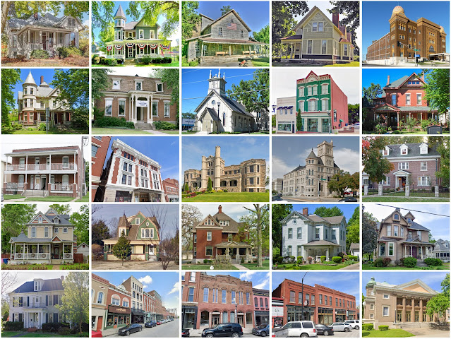
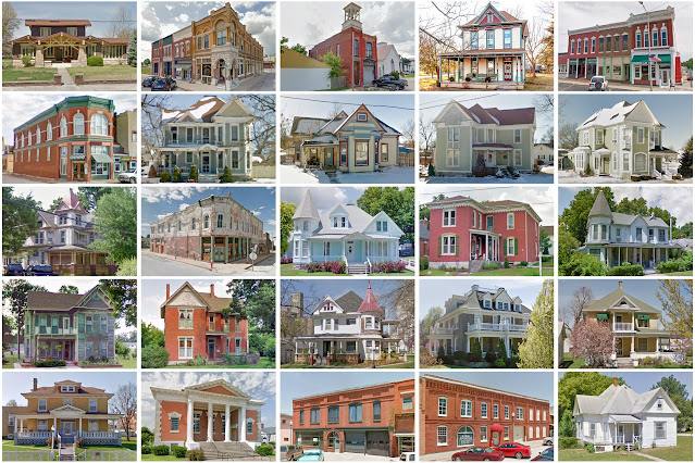
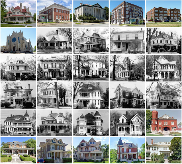
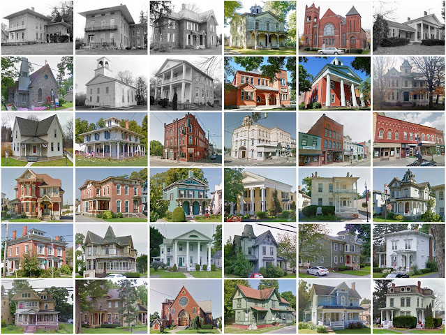
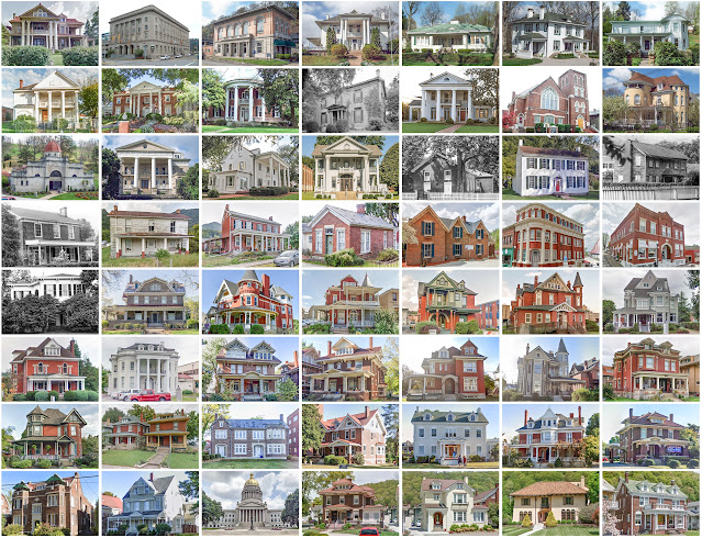
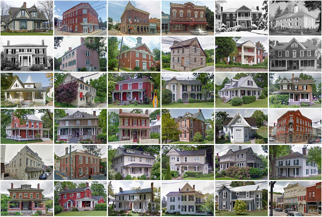
Westmoreland County, Pennsylvania

Image
Founding:  1773 Parent county:  Bedford Namesake:  Westmoreland, England Seat:   Hannastown (1773–1785); Greensburg (1785–) Land area:  1,028 square miles Population (2020):  354,663 Population (historic):  16,019 (1790); 42,699 (1840); 58,719 (1870); 160,175 (1900); 294,995 (1930) Periods of population growth:  pre-1790–1980 Subdivisions:  Seven cities; 38 boroughs; 21 CDPs; 21 townships Pre-1940 residences (estimated):  36,433 (21.4%) Pre-1940 housing survival rate:  55.9% Pre-1860 housing survival rate (1940):  20.2% Farm housing in disrepair (1950):  7.8% Nonfarm housing in disrepair (1950):  6.4% Average farmhouse value (1930):  $2,018 Average outbuilding value (1930):  $1,541 Average farmhouse size (1940):  6 rooms Number of farms (1920):  5,593 Average farm size (1920):  62.9 acres __________________________________________________________________________________...

Greene County, Missouri

Image
Founding:  1833 Parent county:  Unorganized territory Namesake:  Nathanael Greene, Continental Army general Seat:  Springfield (1834–) Land area:  675 square miles Population (2020):  298,915 Population (historic):  5,372 (1840); 13,186 (1860); 28,801 (1880); 52,713 (1900); 82,929 (1930) Periods of population growth:  pre-1840–2020 Subdivisions:  Eight cities Pre-1940 residences (estimated):  11,746 (8.7%) Pre-1940 housing survival rate:  45% Pre-1860 housing survival rate (1940):  5.6% Farm housing in disrepair (1950):  7.6% Nonfarm housing in disrepair (1950):  5.8% Average farmhouse value (1930):  $1,375 Average outbuilding value (1930):  $925 Average farmhouse size (1940):  4.5 rooms Number of farms (1920):  4,252 Average farm size (1920):  71 acres Sources of settlement:  Missouri, Tennessee, Kentucky, Arkansas, North Carolina, Illinois, and Ohio _____________________________________...

Shenandoah County, Virginia

Image
Founding:  1772 Parent county:  Frederick Namesake:  The Shenandoah River Seat:  Woodstock (1772–) Land area:  509 square miles Population (2020):  44,186 Population (historic):  10,510 (1790); 11,618 (1840); 14,936 (1870); 20,253 (1900); 20,655 (1930) Periods of population growth:  pre-1790–1800; 1810–1830; 1840–1910; 1930–2020 Subdivisions:  Six towns; two CDPs Pre-1940 residences (estimated):  4,384 (20.7%) Pre-1940 housing survival rate:  66% Pre-1860 housing survival rate (1940):  38.5% Farm housing in disrepair (1950):  14.6% Nonfarm housing in disrepair (1950):  12.9% Average farmhouse value (1930):  $1,632 Average outbuilding value (1930):  $1,100 Average farmhouse size (1940):  6.7 rooms Number of farms (1920):  2,388 Average farm size (1920):  58.5 acres _________________________________________________________________________________ Woodstock Namesake:  Unknown Founding: ...

Christian County, Missouri

Image
Founding:  1859 Parent counties:  Greene, Taney, and Webster Namesake:  William Christian, Continental Army colonel Seat:  Ozark (1859–) Land area:  563 square miles Population (2020):  88,842 Population (historic):  5,491 (1860); 9,628 (1880); 16,939 (1900); 13,169 (1930) Periods of population growth:  pre-1860–1900; 1930s; 1960–2020 Subdivisions:  Seven cities; one village; one CDP; 19 townships Pre-1940 residences (estimated):  1,445 (4.2%) Pre-1940 housing survival rate:  37.6% Pre-1860 housing survival rate (1940):  6.7% Farm housing in disrepair (1950):  10.4% Nonfarm housing in disrepair (1950):  7.5% Average farmhouse value (1930):  $803 Average outbuilding value (1930):  $613 Average farmhouse size (1940):  4.1 rooms Number of farms (1920):  2,585 Average farm size (1920):  72.2 acres Sources of settlement:  Missouri, Tennessee, Kentucky, and Illinois ____________________________...

Lawrence County, Missouri

Image
Founding:  1845 (declared in 1843) Parent counties:  Barry and Dade Namesake:  James Lawrence, U.S. naval officer Seat:  Mount Vernon (1845–) Land area:  612 square miles Population (2020):  38,001 Population (historic):  4,859 (1850); 12,977 (1870); 26,228 (1890); 26,583 (1910); 23,774 (1930) Periods of population growth:  pre-1850–1900; 1930s; 1960–2010 Subdivisions:  Eight cities; three villages; one CDP; 14 townships Pre-1940 residences (estimated):  2,669 (16%) Pre-1940 housing survival rate:  44.6% Pre-1860 housing survival rate (1940):  1.8% Farm housing in disrepair (1950):  10.5% Nonfarm housing in disrepair (1950):  6.7% Average farmhouse value (1930):  $971 Average outbuilding value (1930):  $690 Average farmhouse size (1940):  4.9 rooms Number of farms (1920):  2,979 Average farm size (1920):  94.3 acres Sources of settlement:  Missouri, Tennessee, Illinois, Kentucky, and Indi...

Jasper County, Missouri

Image
Founding:  1841 Parent county:  Unorganized territory Namesake:  William Jasper, South Carolina soldier Seat:  Carthage (1842–) Land area:  638 square miles Population (2020):  122,761 Population (historic):  4,223 (1850); 14,928 (1870); 50,500 (1890); 89,673 (1910); 73,810 (1930) Periods of population growth:  pre-1850–1910; 1930–1950; 1960–2020 Subdivisions:  16 cities; six villages; 15 townships Pre-1940 residences (estimated):  8,327 (16.2%) Pre-1940 housing survival rate:  41.1% Pre-1860 housing survival rate (1940):  5.2% Farm housing in disrepair (1950):  16.2% Nonfarm housing in disrepair (1950):  11.5% Average farmhouse value (1930):  $1,155 Average outbuilding value (1930):  $758 Average farmhouse size (1940):  5.2 rooms Number of farms (1920):  2,786 Average farm size (1920):  93.5 acres Sources of settlement:  Illinois, Ohio, Indiana, Kentucky, and Tennessee __________________...

Frederick County, Virginia

Image
Founding:  1743 (declared in 1738) Parent county:  Orange Namesake:  Frederick, Prince of Wales Seat:  Winchester (1744–) Land area:  414 square miles Population (2020):  91,419 Population (historic):  19,681 (1790); 14,242 (1840); 16,596 (1870); 13,239 (1900); 13,167 (1930) Periods of population growth:  pre-1790–1800; 1810–1830; 1840–1890; 1920–2020 Subdivisions:  One city; two towns; two CDPs Pre-1940 residences (estimated):  2,055 (6%) Pre-1940 housing survival rate:  57.7% Pre-1860 housing survival rate (1940):  30.4% Farm housing in disrepair (1950):  13% Nonfarm housing in disrepair (1950):  12.5% Average farmhouse value (1930):  $1,791 Average outbuilding value (1930):  $1,199 Average farmhouse size (1940):  6.5 rooms Number of farms (1920):  1,725 Average farm size (1920):  82.8 acres _________________________________________________________________________________ Winchester Namesake...

Yates County, New York

Image
Founding:  1823 Parent county:  Ontario Namesake:  Joseph Yates, New York governor Seat:  Penn Yan (1823–) Land area:  338 square miles Population (2020):  24,774 Population (historic):  19,009 (1830); 20,290 (1860); 21,001 (1890); 18,642 (1910); 16,848 (1930) Periods of population growth:  pre-1830–1850; 1870s; 1920s; 1940–2010 Subdivisions:  Four villages; one CDP; nine towns Pre-1940 residences (estimated):  4,823 (34.8%) Pre-1940 housing survival rate:  75.4% Pre-1860 housing survival rate (1940):  29.3% Farm housing in disrepair (1950):  4.9% Nonfarm housing in disrepair (1950):  3% Average farmhouse value (1930):  $2,206 Average outbuilding value (1930):  $2,229 Average farmhouse size (1940):  8.2 rooms Number of farms (1920):  2,041 Average farm size (1920):  76.9 acres _________________________________________________________________________________ Penn Yan Namesake:  Uncertain—p...

Kanawha County, West Virginia

Image
Founding:  1789 Parent counties:  Greenbrier and Montgomery Namesake:  The Kanawha River Seat:  Charleston (1789–) Land area:  902 square miles Population (2020):  180,745 Population (historic):  3,239 (1800); 13,567 (1840); 22,349 (1870); 54,696 (1900); 157,667 (1930) Periods of population growth:  pre-1800–1960 Subdivisions:  Six cities; eight towns; 12 CDPs Pre-1940 residences (estimated):  11,631 (12.6%) Pre-1940 housing survival rate:  30.1% Pre-1860 housing survival rate (1940):  12.1% Farm housing in disrepair (1950):  17.6% Nonfarm housing in disrepair (1950):  11% Average farmhouse value (1930):  $897 Average outbuilding value (1930):  $430 Average farmhouse size (1940):  4.4 rooms Number of farms (1920):  2,952 Average farm size (1920):  40.8 acres _________________________________________________________________________________ Charleston Namesake:  Unknown Founding:  1788...

Greenbrier County, West Virginia

Image
Founding:  1778 Parent counties:  Botetourt and Montgomery Namesake:  The Greenbrier River Seat:  Lewisburg (1780–) Land area:  1,020 square miles Population (2020):  32,608 Population (historic):  6,015 (1790); 8,695 (1840); 11,417 (1870); 20,683 (1900); 35,878 (1930) Periods of population growth:  pre-1790; 1800–1830; 1840–1860; 1870–1950; 1970s; 2000s Subdivisions:  Three cities; four towns; one CDP Pre-1940 residences (estimated):  3,665 (19%) Pre-1940 housing survival rate:  37.2% Pre-1860 housing survival rate (1940):  15% Farm housing in disrepair (1950): 20% Nonfarm housing in disrepair (1950):  17.9% Average farmhouse value (1930):  $1,207 Average outbuilding value (1930):  $616 Average farmhouse size (1940):  5.6 rooms Number of farms (1920):  2,439 Average farm size (1920):  61.1 acres _________________________________________________________________________________ Lewisburg Namesake: ...

Piute County, Utah

Image
Founding:  1869 (declared in 1865) Parent county:  Beaver Namesake:  The Paiute people Seat:   Bullion City (1869–1880s); Junction (1880s–) Land area:  758 square miles Population (2020):  1,438 Population (historic):  82 (1870); 2,842 (1890); 1,734 (1910); 1,956 (1930) Periods of population growth:  1870–1890; 1910s; 1930s; 1970s; 1990s Subdivisions:  Four towns Pre-1940 residences (estimated):  245 (25.8%) Pre-1940 housing survival rate:  47.7% Farm housing in disrepair (1950):  2.4% Nonfarm housing in disrepair (1950):  5% Average farmhouse value (1930):  $801 Average outbuilding value (1930):  $275 Average farmhouse size (1940):  4.7 rooms Number of farms (1920):  246 Average farm size (1920):  68 acres _________________________________________________________________________________ Junction Namesake:  Unclear—perhaps a reference to the town's position at a crossroads Founding:  186...

Nicholas County, West Virginia

Image
Founding:  1818 Parent counties:  Greenbrier, Kanawha, and Randolph Namesake:  Wilson Nicholas, Virginia politician Seat:  Summersville (1820–) Land area:  647 square miles Population (2020):  24,604 Population (historic):  1,853 (1820); 3,963 (1850); 4,458 (1870); 11,403 (1900); 20,686 (1930) Periods of population growth:  pre-1820–1830; 1840–1860; 1870–1920; 1930–1950; 1970s Subdivisions:  Two cities; seven CDPs Pre-1940 residences (estimated):  1,636 (12.4%) Pre-1940 housing survival rate:  30.4% Pre-1860 housing survival rate (1940):  4.3% Farm housing in disrepair (1950):  18% Nonfarm housing in disrepair (1950):  14% Average farmhouse value (1930):  $835 Average outbuilding value (1930):  $287 Average farmhouse size (1940):  4.9 rooms Number of farms (1920):  1,670 Average farm size (1920):  50.2 acres _________________________________________________________________________________ Summ...

Steuben County, New York

Image
Founding:  1796 Parent county:  Ontario Namesake:  Friedrich von Steuben, Continental Army general Seat:  Bath (1796–) Land area:  1,391 square miles Population (2020):  93,584 Population (historic):  1,788 (1800); 46,138 (1840); 67,717 (1870); 82,822 (1900); 82,671 (1930) Periods of population growth:  pre-1800–1910; 1920–1970 Subdivisions:  Two cities; 14 villages; four CDPs; 24 towns Pre-1940 residences (estimated):  17,172 (34.6%) Pre-1940 housing survival rate:  69.5% Pre-1860 housing survival rate (1940):  21% Farm housing in disrepair (1950):  13.5% Nonfarm housing in disrepair (1950):  5.2% Average farmhouse value (1930):  $1,478 Average outbuilding value (1930):  $1,534 Average farmhouse size (1940):  7.7 rooms Number of farms (1920):  6,132 Average farm size (1920):  86 acres _________________________________________________________________________________ Bath Namesake:  Uncert...

Fayette County, Iowa

Image
Founding:  1850 (declared in 1837) Parent county:  Dubuque Namesake:  The Marquis de Lafayette, Continental Army general Seat:  West Union (1850–) Land area:  731 square miles Population (2020):  19,509 Population (historic):  825 (1850); 16,973 (1870); 23,141 (1890); 27,919 (1910); 29,145 (1930) Periods of population growth:  pre-1850–1900; 1910s; 1950s Subdivisions:  15 cities; 20 townships Pre-1940 residences (estimated):  4,000 (41.7%) Pre-1940 housing survival rate:  53.8% Pre-1860 housing survival rate (1940):  4.8% Farm housing in disrepair (1950):  6% Nonfarm housing in disrepair (1950):  6.1% Average farmhouse value (1930):  $2,096 Average outbuilding value (1930):  $2,888 Average farmhouse size (1940):  7.1 rooms Number of farms (1920):  3,157 Average farm size (1920):  106.5 acres Sources of settlement:  New York, Illinois, Wisconsin, Ohio, Germany, Pennsylvania, Ireland, ...