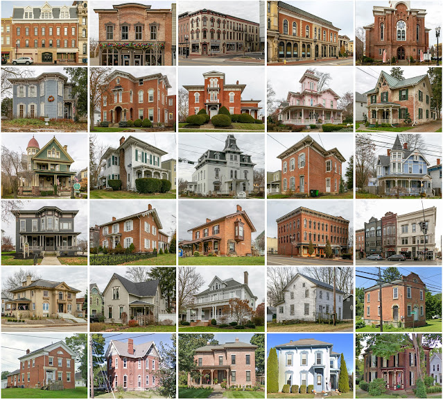
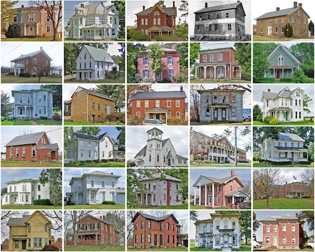
Wayne County, Ohio
Founding: 1812 (declared in 1808)
Parent county: Unorganized territory
Parent county: Unorganized territory
Namesake: Anthony Wayne, Continental Army general
Seat: Madison (1812–1819); Wooster (1819–)
Seat: Madison (1812–1819); Wooster (1819–)
Land area: 555 square miles
Population (2020): 116,894
Population (historic): 11,933 (1820); 32,483 (1860); 40,076 (1880); 37,870 (1900); 47,024 (1930)
Periods of population growth: pre-1810–1840; 1860–1880; 1910–2020
Subdivisions: Three cities; 12 villages; three CDPs; 16 townships
Pre-1940 residences (estimated): 9,520 (20.8%)
Pre-1940 housing survival rate: 73.7%
Pre-1860 housing survival rate (1940): 28.3%
Pre-1940 housing survival rate: 73.7%
Pre-1860 housing survival rate (1940): 28.3%
Farm housing in disrepair (1950): 3.4%
Nonfarm housing in disrepair (1950): 4.1%
Average farmhouse value (1930): $1,835Average outbuilding value (1930): $1,725
Average farmhouse size (1940): 7.3 rooms
Number of farms (1920): 4,204
Average farm size (1920): 57.6 acres
Sources of settlement: Pennsylvania, Switzerland, Germany, and France
_________________________________________________________________________________
Wooster
Founding: 1808 (platting); 1812 (post office); 1817 (incorporation)
Population (2020): 27,232
Population (historic): 291 (1810); 2,797 (1850); 5,840 (1880); 37,870 (1900); 10,742 (1930)
Periods of population growth: 1808–2020
Pre-1940 residences (estimated): 2,529 (21%)
_________________________________________________________________________________
Pre-1940 residences (estimated): 2,529 (21%)
_________________________________________________________________________________
View and filter the data. Or see a map.
_________________________________________________________________________________


Comments
Post a Comment