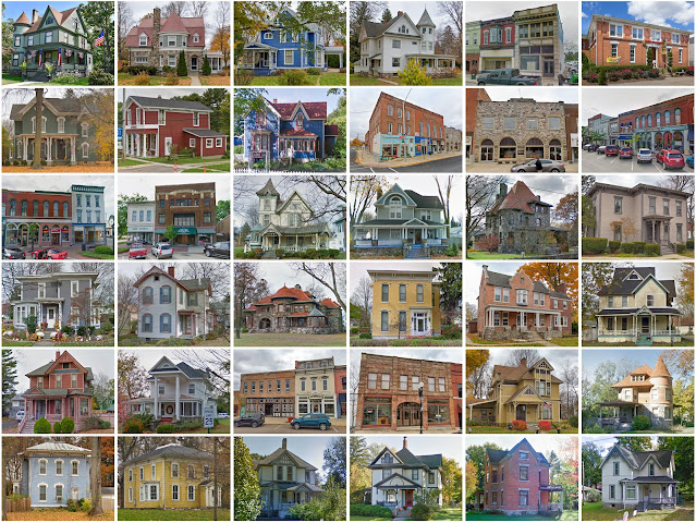
Cass County, Michigan
Founding: 1829
Parent county: Unorganized territory
Namesake: Lewis Cass, Michigan politician
Seat: Cassopolis (1831–)
Seat: Cassopolis (1831–)
Land area: 490 square miles
Population (2020): 51,589
Population (historic): 5,710 (1840); 17,721 (1860); 22,009 (1880); 20,876 (1900); 20,888 (1930)
Periods of population growth: 1830–1880; 1920–2010
Subdivisions: One city; four villages; 15 townships
Pre-1940 residences (estimated): 4,394 (16.8%)
Pre-1940 housing survival rate: 55.3%
Pre-1860 housing survival rate (1940): 13.8%
Pre-1940 housing survival rate: 55.3%
Pre-1860 housing survival rate (1940): 13.8%
Farm housing in disrepair (1950): 16.3%
Nonfarm housing in disrepair (1950): 8.3%
Average farmhouse value (1930): $1,510
Average outbuilding value (1930): $1,280
Average farmhouse value (1930): $1,510
Average outbuilding value (1930): $1,280
Average farmhouse size (1940): 6.7 rooms
Number of farms (1920): 2,572
Average farm size (1920): 85.3 acres
Sources of settlement: New York, Ohio, Indiana, and Pennsylvania
_________________________________________________________________________________
Number of farms (1920): 2,572
Average farm size (1920): 85.3 acres
Sources of settlement: New York, Ohio, Indiana, and Pennsylvania
_________________________________________________________________________________
Cassopolis
Namesake: Lewis Cass, Michigan politician
Founding: 1831 (platting); 1832 (post office); 1863 (incorporation)
Population (2020): 1,712
Population (historic): 379 (1850); 728 (1870); 1,369 (1890); 1,358 (1910); 1,448 (1930)
Periods of population growth: pre-1850–1890; 1900–1970; 2000s
Pre-1940 residences (estimated): 287 (38.2%)
_________________________________________________________________________________
View and filter the data. Or see a map.
_________________________________________________________________________________
Pre-1940 residences (estimated): 287 (38.2%)
_________________________________________________________________________________
View and filter the data. Or see a map.
_________________________________________________________________________________


Comments
Post a Comment