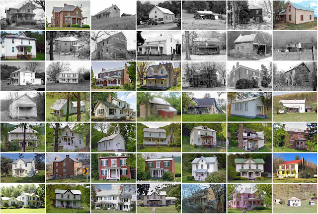
Hardy County, West Virginia
Founding: 1786
Parent county: Hampshire
Namesake: Samuel Hardy, Virginia politician
Seat: Moorefield (1786–)
Seat: Moorefield (1786–)
Land area: 582 square miles
Population (2020): 14,299
Population (historic): 7,336 (1790); 7,622 (1840); 5,518 (1870); 8,449 (1900); 9,816 (1930)
Periods of population growth: pre-1790; 1810–1860; 1870–1940; 1970–2020
Subdivisions: Two towns
Pre-1940 residences (estimated): 1,061 (12.9%)
Pre-1940 housing survival rate: 49.8%
Pre-1860 housing survival rate (1940): 16.5%
Pre-1940 housing survival rate: 49.8%
Pre-1860 housing survival rate (1940): 16.5%
Farm housing in disrepair (1950): 18%
Nonfarm housing in disrepair (1950): 20.5%
Average farmhouse value (1930): $1,017Average outbuilding value (1930): $643
Average farmhouse size (1940): 5.7 rooms
Number of farms (1920): 1,228
Average farm size (1920): 84.9 acres
_________________________________________________________________________________
Moorefield
Namesake: Conrad Moore, owner of the town site
Founding: 1777 (platting); 1777 (incorporation); 1799 (post office)
Population (2020): 2,527
Population (historic): 554 (1880); 460 (1900); 646 (1910)
Periods of population growth: pre-1880; 1900s; 1920–1980; 1990–2010
Pre-1940 residences (estimated): 314 (20.7%)
_________________________________________________________________________________
View and filter the data. Or see a map.
_________________________________________________________________________________
Pre-1940 residences (estimated): 314 (20.7%)
_________________________________________________________________________________
View and filter the data. Or see a map.
_________________________________________________________________________________


Comments
Post a Comment