Chariton County, Missouri
Founding: 1821
Parent counties: Howard and Pike
Namesake: The Chariton River
Seat: Chariton (1820–1833); Keytesville (1833–)
Seat: Chariton (1820–1833); Keytesville (1833–)
Land area: 751 square miles
Population (2020): 7,408
Population (historic): 1,780 (1830); 7,514 (1850); 19,136 (1870); 26,826 (1900); 19,588 (1930)
Periods of population growth: pre-1830–1900
Subdivisions: Six cities; two villages; 15 townships
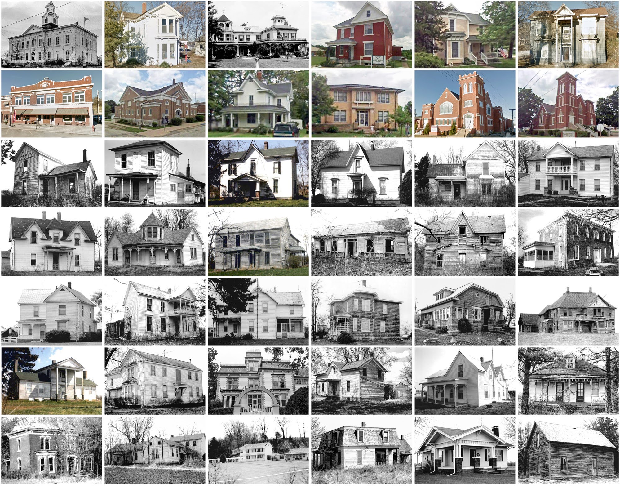
Pre-1940 residences (estimated): 855 (20.6%)
Pre-1940 housing survival rate: 22.7%
Pre-1860 housing survival rate (1940): 7%
Pre-1940 housing survival rate: 22.7%
Pre-1860 housing survival rate (1940): 7%
Farm housing in disrepair (1950): 19%
Nonfarm housing in disrepair (1950): 16.4%
Average farmhouse value (1930): $1,139Average outbuilding value (1930): $978
Average farmhouse size (1940): 5.1 rooms
Number of farms (1920): 3,426
Average farm size (1920): 112.7 acres
Sources of settlement: Virginia, Illinois, Kentucky, Pennsylvania, Ohio, and Germany
Number of farms (1920): 3,426
Average farm size (1920): 112.7 acres
Sources of settlement: Virginia, Illinois, Kentucky, Pennsylvania, Ohio, and Germany
___________________________________________________________________________________
Keytesville
Namesake: James Keyte, owner of the village site
Founding: 1831 (post office); 1832 (platting); 1868 (incorporation)
Population (2020): 440
Population (historic): 529 (1870); 819 (1890); 963 (1910); 738 (1930)
Periods of population growth: pre-1870–1900; 1930s; 1960s
Pre-1940 residences (estimated): 41 (16.1%)
Pre-1940 residences (estimated): 41 (16.1%)
___________________________________________________________________________________
View and filter the data. Or see a map.
View and filter the data. Or see a map.
___________________________________________________________________________________

Comments
Post a Comment