Muscatine County, Iowa
Founding: 1836
Parent county: Des Moines
Namesake: Uncertain—perhaps Muscatine Island
Seat: Muscatine (1837–)
Seat: Muscatine (1837–)
Land area: 437 square miles
Population (2020): 43,235
Population (historic): 5,731 (1850); 21,688 (1870); 24,504 (1890); 29,505 (1910); 29,385 (1930)
Periods of population growth: pre-1850–1910; 1920–1980; 1990–2020
Subdivisions: Eight cities; 14 townships
Pre-1940 residences (estimated): 5,704 (31.5%)
Pre-1940 housing survival rate: 62.3%
Pre-1860 housing survival rate (1940): 7.5%
Pre-1940 housing survival rate: 62.3%
Pre-1860 housing survival rate (1940): 7.5%
Farm housing in disrepair (1950): 5%
Nonfarm housing in disrepair (1950): 9.1%
Average farmhouse value (1930): $2,583Average outbuilding value (1930): $3,047
Average farmhouse size (1940): 6.8 rooms
Number of farms (1920): 1,923
Average farm size (1920): 113.1 acres
Sources of settlement: Germany, Ohio, Pennsylvania, Ireland, Illinois, and New York
_________________________________________________________________________________
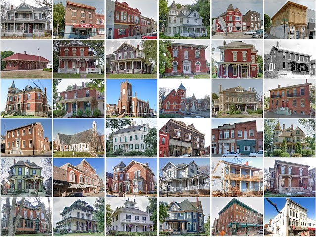
Muscatine
Namesake: Uncertain—perhaps Muscatine Island
Founding: 1833 (platting as Bloomington); 1839 (post office); 1839 (incorporation)
Population (2020): 23,797
Population (historic): 2,540 (1850); 6,718 (1870); 11,454 (1890); 16,178 (1910); 16,778 (1930)
Periods of population growth: 1833–1910; 1920–1980; 2000–2020
Pre-1940 residences (estimated): 3,760 (36.5%)
_________________________________________________________________________________
View and filter the data. Or see a map.
Pre-1940 residences (estimated): 3,760 (36.5%)
_________________________________________________________________________________
View and filter the data. Or see a map.
_________________________________________________________________________________


Comments
Post a Comment