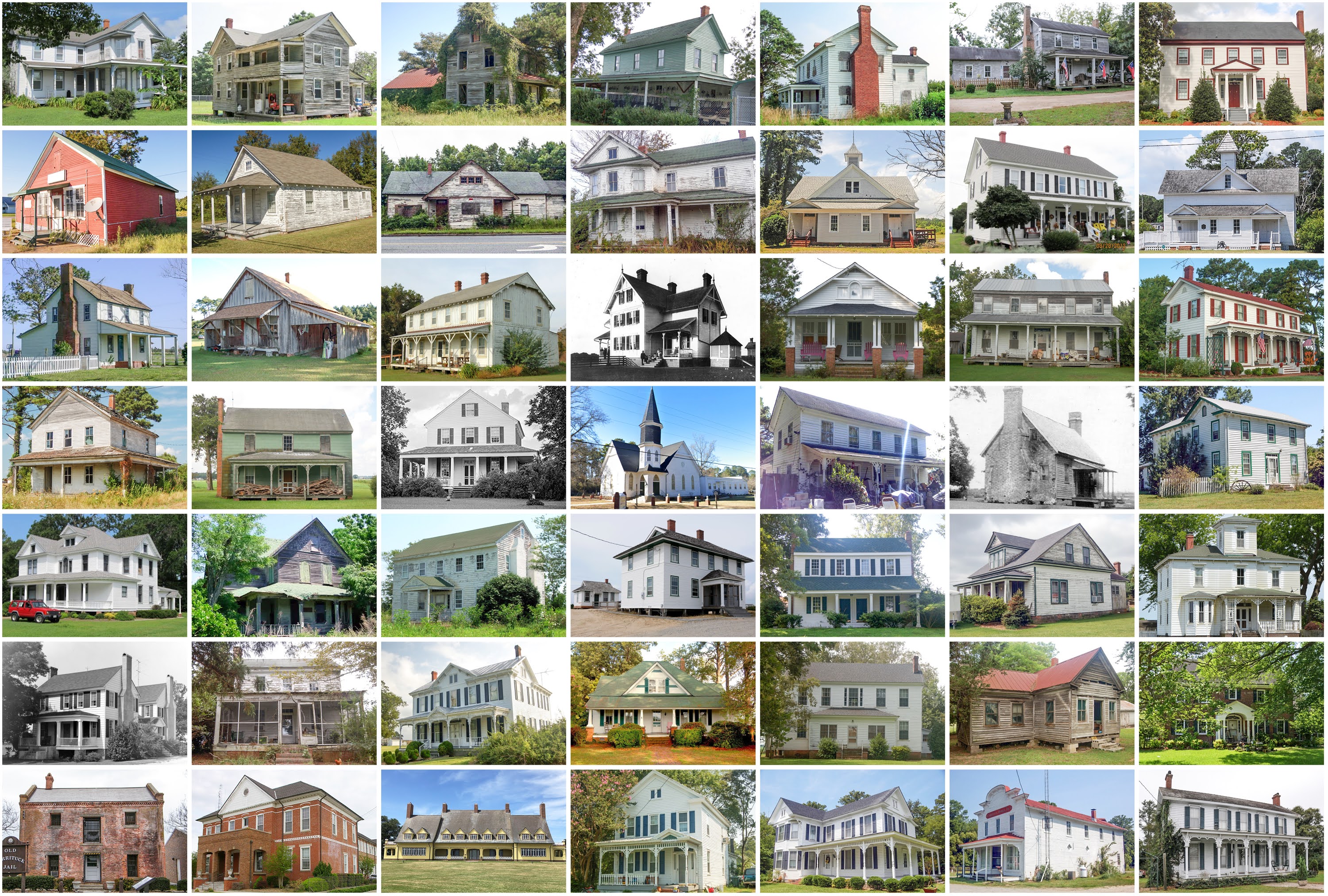
Currituck County, North Carolina
Founding: 1684
Parent county: Albemarle
Namesake: Currituck Sound
Seat: Currituck (1739–)
Seat: Currituck (1739–)
Land area: 262 square miles
Population (2020): 28,100Population (historic): 5,220 (1790); 6,703 (1840); 5,131 (1870); 6,529 (1900); 6,710 (1930)
Periods of population growth: pre-1790–1820; 1840–1860; 1870–1890; 1900s; 1950–2020
Subdivisions: Two CDPs
Pre-1940 residences (estimated): 492 (3.1%)
Pre-1940 housing survival rate: 30.7%
Pre-1860 housing survival rate (1940): 4%
Pre-1940 housing survival rate: 30.7%
Pre-1860 housing survival rate (1940): 4%
Farm housing in disrepair (1950): 21.3%
Nonfarm housing in disrepair (1950): 22.4%
Average farmhouse value (1930): $1,025Average outbuilding value (1930): $472
Average farmhouse size (1940): 5.6 rooms
Number of farms (1920): 984
Average farm size (1920): 51.4 acres
_________________________________________________________________________________
Currituck
Namesake: Currituck County
Founding: circa 1722 (founding); 1808 (post office)
_________________________________________________________________________________
View and filter the data. Or see a map.

View and filter the data. Or see a map.
_________________________________________________________________________________
Comments
Post a Comment