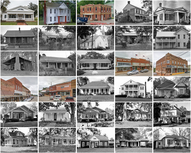
San Augustine County, Texas
Founding: 1837 (declared in 1836)
Parent county: Unorganized territory
Namesake: The city of San Augustine
Seat: San Augustine (1837–)
Seat: San Augustine (1837–)
Land area: 531 square miles
Population (2020): 7,918Population (historic): 3,648 (1850); 4,196 (1870); 6,688 (1890); 11,264 (1910); 12,471 (1930)
Periods of population growth: pre-1850–1920; 1960–1980; 1990s
Subdivisions: One city; one town
Pre-1940 residences (estimated): 415 (7.6%)
Pre-1940 housing survival rate: 10.9%
Pre-1860 housing survival rate (1940): 5.4%
Pre-1940 housing survival rate: 10.9%
Pre-1860 housing survival rate (1940): 5.4%
Farm housing in disrepair (1950): 47.4%
Nonfarm housing in disrepair (1950): 15.9%
Average farmhouse value (1930): $361Average outbuilding value (1930): $90
Average farmhouse size (1940): 4 rooms
Number of farms (1920): 1,606
Average farm size (1920): 36.6 acres
Sources of settlement: Mississippi, Alabama, Louisiana, Georgia, and Tennessee
_________________________________________________________________________________
San Augustine
Namesake: The Presidio de San Agustín de Ahumada
Founding: 1832 (platting); 1835 (post office); 1837 (incorporation)
Population (2020): 1,920
Population (historic): 250 (1870); 744 (1890); 1,204 (1910); 1,247 (1930)
Periods of population growth: pre-1870–1890; 1900–1920; 1930–1960; 1970s; 1990s
Pre-1940 residences (estimated): 179 (15.3%)
_________________________________________________________________________________
View and filter the data. Or see a map.

Pre-1940 residences (estimated): 179 (15.3%)
_________________________________________________________________________________
View and filter the data. Or see a map.
_________________________________________________________________________________


Comments
Post a Comment