McCormick County, South Carolina
Founding: 1916
Parent counties: Abbeville, Edgefield, and Greenwood
Namesake: The town of McCormick
Seat: McCormick (1916–)
Seat: McCormick (1916–)
Land area: 359 square miles
Population (2020): 9,526Population (historic): 16,444 (1920); 11,471 (1930); 10,367 (1940)
Periods of population growth: pre-1920; 1980–2010
Subdivisions: Three towns; four CDPs
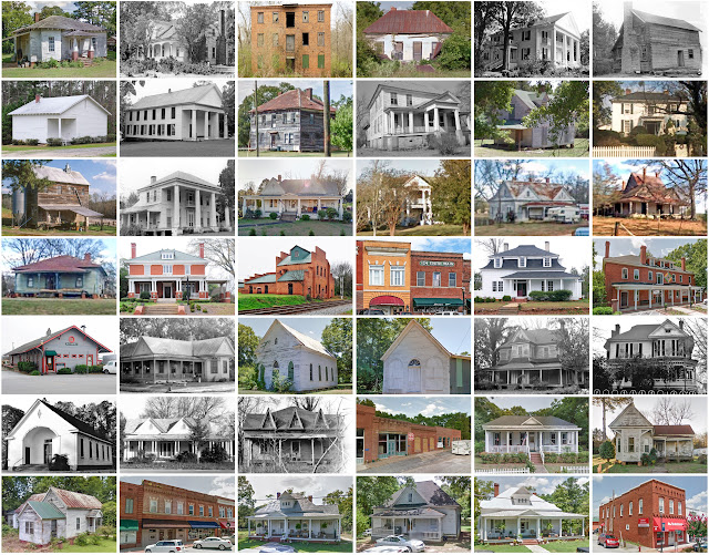
Pre-1940 residences (estimated): 327 (5.8%)
Pre-1940 housing survival rate: 15.4%
Pre-1940 housing survival rate: 15.4%
Farm housing in disrepair (1940): 51.3%
Nonfarm housing in disrepair (1940): 30.7%
Average farmhouse value (1930): $449Average outbuilding value (1930): $174
Average farmhouse size (1940): 4.2 rooms
Number of farms (1920): 2,911
Average farm size (1920): 28.6 acres
_________________________________________________________________________________
McCormick
Namesake: Cyrus McCormick, Virginia inventor
Founding: 1870s (platting); 1882 (post office); 1882 (incorporation)
Population (2020): 2,232
Population (historic): 237 (1900); 613 (1910); 1,284 (1920); 1,304 (1930)
Periods of population growth: pre-1900–1960; 2000s
Pre-1940 residences (estimated): 172 (15.9%)
_________________________________________________________________________________
View and filter the data. Or see a map.
Pre-1940 residences (estimated): 172 (15.9%)
_________________________________________________________________________________
View and filter the data. Or see a map.
_________________________________________________________________________________

Comments
Post a Comment