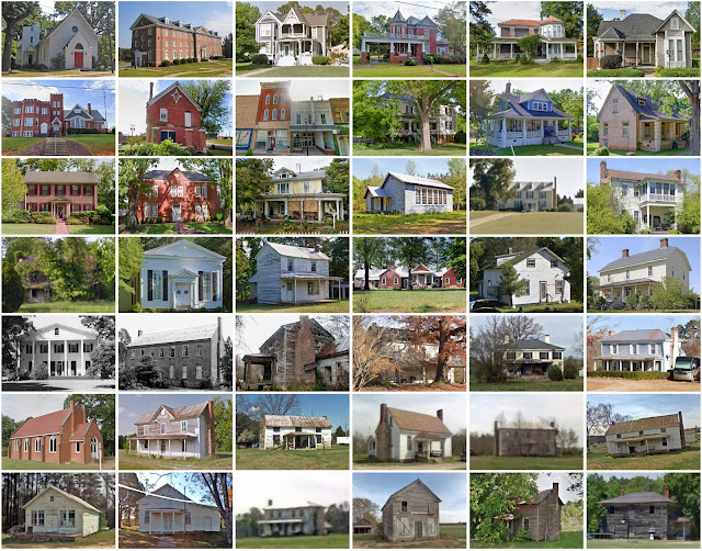
Brunswick County, Virginia
Founding: 1733 (declared in 1720)
Parent county: Prince George
Namesake: The Duchy of Brunswick-Lüneburg
Seat: Lawrenceville (1783–)
Land area: 566 square miles
Population (historic): 12,827 (1790); 14,346 (1840); 13,427 (1870); 18,217 (1900); 20,486 (1930)
Pre-1940 housing survival rate: 17.9%
Pre-1860 housing survival rate (1940): 15.2%
Farm housing in disrepair (1950): 29%
Nonfarm housing in disrepair (1950): 16.5%
Average farmhouse value (1930): $709Average outbuilding value (1930): $392
Average farmhouse size (1940): 4.7 rooms
Number of farms (1920): 2,842
Average farm size (1920): 36.5 acres
_________________________________________________________________________________
Namesake: Unknown
Pre-1940 residences (estimated): 191 (31.6%)
_________________________________________________________________________________
Average farm size (1920): 36.5 acres
_________________________________________________________________________________
Lawrenceville
Pre-1940 residences (estimated): 191 (31.6%)
_________________________________________________________________________________


Comments
Post a Comment