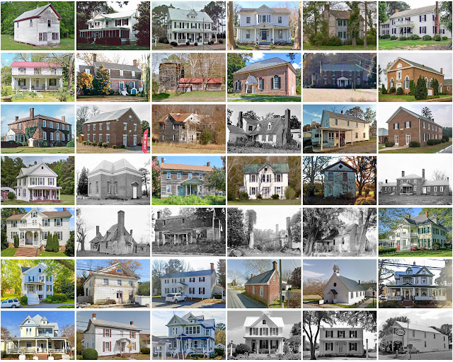
Lancaster County, Virginia
Founding: 1651
Parent counties: Northumberland and York
Namesake: Lancaster, England
Seat: Lancaster (1740–)
Land area: 133 square miles
Population (historic): 5,638 (1790); 4,628 (1840); 5,355 (1870); 8,949 (1900); 8,896 (1930)
Pre-1940 housing survival rate: 45.2%
Pre-1860 housing survival rate (1940): 15.4%
Farm housing in disrepair (1950): 13.3%
Nonfarm housing in disrepair (1950): 13.4%
Average farmhouse value (1930): $944Average outbuilding value (1930): $313
Average farmhouse size (1940): 6.1 rooms
Number of farms (1920): 1,256
Average farm size (1920): 22.2 acres
_________________________________________________________________________________
Namesake: Lancaster, England
_________________________________________________________________________________
Average farm size (1920): 22.2 acres
_________________________________________________________________________________
Lancaster
_________________________________________________________________________________
_________________________________________________________________________________

Comments
Post a Comment