Monroe County, Arkansas
Founding: 1830
Parent counties: Arkansas, Phillips, and Pulaski
Namesake: James Monroe, U.S. president
Seat: Lawrenceville (1830–1857); Clarendon (1857–)
Land area: 607 square miles
Population (historic): 461 (1830); 2,049 (1850); 8,336 (1870); 16,816 (1900); 20,651 (1930)
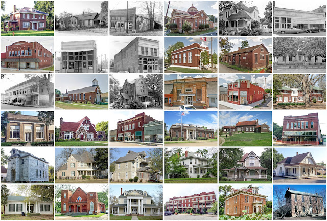
Pre-1940 housing survival rate: 8.1%
Pre-1860 housing survival rate (1940): 2.8%
Farm housing in disrepair (1950): 48.9%
Nonfarm housing in disrepair (1950): 38.7%
Average farmhouse value (1930): $334Average outbuilding value (1930): $129
Average farmhouse size (1940): 3.5 rooms
Number of farms (1920): 3,305
Average farm size (1920): 30.6 acres
Average farm size (1920): 30.6 acres
Sources of settlement: Tennessee, Mississippi, and Alabama
_________________________________________________________________________________
Namesake: A traditional name—ultimately a reference to the Earl of Clarendon
Pre-1940 residences (estimated): 61 (8.7%)
_________________________________________________________________________________
_________________________________________________________________________________
Clarendon
Pre-1940 residences (estimated): 61 (8.7%)
_________________________________________________________________________________

Comments
Post a Comment