Eau Claire County, Wisconsin
Founding: 1856
Parent county: Chippewa
Namesake: The Eau Claire River
Seat: Eau Claire (1856–)
Land area: 638 square miles
Population (historic): 3,162 (1860); 19,993 (1880); 31,692 (1900); 41,087 (1930)
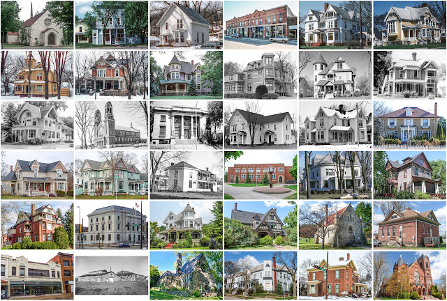
Pre-1940 housing survival rate: 61.9%
Pre-1860 housing survival rate (1940): 3.8%
Farm housing in disrepair (1950): 10.1%
Nonfarm housing in disrepair (1950): 4.6%
Average farmhouse value (1930): $1,619Average outbuilding value (1930): $1,794
Average farmhouse size (1940): 6.6 rooms
Number of farms (1920): 2,368
Average farm size (1920): 82.1 acres
Sources of settlement: New York, Norway, Germany, and Canada
_________________________________________________________________________________
Namesake: The Eau Claire River
Pre-1940 residences (estimated): 4,281 (14.9%)
_________________________________________________________________________________
Average farm size (1920): 82.1 acres
Sources of settlement: New York, Norway, Germany, and Canada
_________________________________________________________________________________
Eau Claire
Pre-1940 residences (estimated): 4,281 (14.9%)
_________________________________________________________________________________


Comments
Post a Comment