Caledonia County, Vermont


Founding: 1796 (declared in 1792)
Parent county: Orange
Namesake: A poetic reference to the country of Scotland
Seat: Danville (1796–1856); St. Johnsbury (1856–)
Land area: 649 square miles
Population (2020): 30,233
Population (historic): 9,377 (1800); 21,891 (1840); 22,235 (1870); 24,381 (1900); 27,253 (1930)
Periods of population growth: pre-1800–1810; 1820–1850; 1860–1880; 1890–1910; 1920s; 1970–2010
Subdivisions: Two villages; 11 CDPs; 17 towns
Pre-1940 residences (estimated): 5,231 (32.7%)
Pre-1940 housing survival rate: 74.9%
Pre-1860 housing survival rate (1940): 34.2%
Farm housing in disrepair (1950): 12.8%
Nonfarm housing in disrepair (1950): 6.9%
Average farmhouse value (1930): $1,404
Average outbuilding value (1930): $1,311
Average farmhouse size (1940): 7.5 rooms
Number of farms (1920): 2,313
Average farm size (1920): 56.2 acres
_________________________________________________________________________________
 
St. Johnsbury
 
Namesake: Unknown
Founding: 1786 (founding); 1790 (incorporation); 1802 (post office)
Population (2020): 7,364
Population (historic): 663 (1800); 1,887 (1840); 4,665 (1870); 7,010 (1900); 9,696 (1930)
Periods of population growth: pre-1790–1930; 1940s; 2000s
Pre-1940 residences (estimated): 1,471 (51.9%)
_________________________________________________________________________________
View and filter the data. Or see a map.
_________________________________________________________________________________

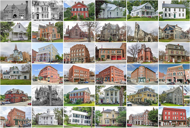
Outstanding Buildings

  1. William Gilkerson Farm (c. 1800). 1068 Kitchel Hill Road. Barnet.
  2. Burklyn Hall / Elmer Darling Estate (1904–1908). 2864 Darling Hill Road. Burke. Classical Revival.
  3. Grouselands / Stephen Waterman House (c. 1865/1904). 2627 McDowell Road. Danville. Shingle.
  4. Joseph Sweetser House (c. 1825). 441 Webster Hill Road. Danville. Federal.
  5. William Grout House (c. 1880/1895). 661 US Highway 2. Kirby. Queen Anne.
  6. Riverside / Dudley Hall House (1866). 30 Lily Pond Road. Lyndon. Italianate.
  7. Jonathan Elkins Farm (1787). 148 Bayley–Hazen Road. Peacham. Georgian.
  8. William Gray Farm (remodeled c. 1880). 571 Bayley–Hazen Road. Ryegate. Second Empire. Razed.
  9. James Whitehill House (1808). 78 Stone House Drive. Ryegate.
  10. Samuel Moore House (1832). 1886 US Highway 5. Ryegate. Greek Revival.
  11. Amsden House (c. 1815). 4490 Noyestar Road. Walden. Federal.
  12. Richardson Graves House (c. 1881). 361 State Route 18. Waterford. Second Empire.
_________________________________________________________________________________


Comments