Posts

Showing posts from January, 2024

Pratt County, Kansas

Image
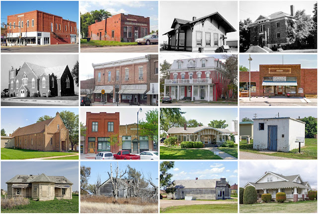
Founding:  1879 (declared in 1867) Parent county:  Marion Namesake:  Caleb Pratt, Union lieutenant Seat:  Iuka (1879–1888); Pratt (1888–) Land area:  735 square miles Population (2020):  9,157 Population (historic):  1,890 (1880); 7,085 (1900); 13,312 (1930) Periods of population growth:  pre-1880–1890; 1900–1930; 1970s; 2000s Subdivisions:  Seven cities Pre-1940 residences (estimated):  1,424 (32.4%) Pre-1940 housing survival rate:  44.3% Farm housing in disrepair (1950):  12.2% Nonfarm housing in disrepair (1950):  7% Average farmhouse value (1930):  $1,340 Average outbuilding value (1930):  $1,007 Average farmhouse size (1940):  6 rooms Number of farms (1920):  1,319 Average farm size (1920):  296.7 acres Sources of settlement:  Kansas, Missouri, Illinois, Indiana, Iowa, Ohio, and Kentucky _________________________________________________________________________________   Pra...

Allendale County, South Carolina

Image
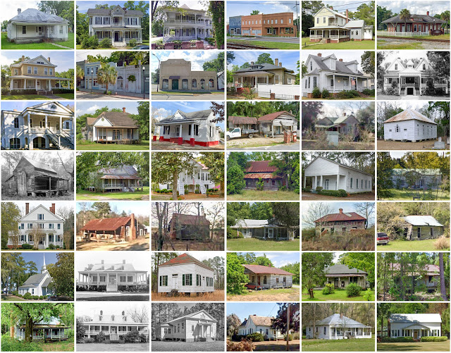
Founding:  1919 Parent counties:  Barnwell and Hampton Namesake:  The town of Allendale Seat:  Allendale (1919–) Land area:  408 square miles Population (2020):  8,039 Population (historic):  16,098 (1920); 13,294 (1930); 13,040 (1930) Periods of population growth:  pre-1920; 1970–1990 Subdivisions:  Four towns Pre-1940 residences (estimated):  220 (5.4%) Pre-1940 housing survival rate:  14.4% Farm housing in disrepair (1950):  37.7% Nonfarm housing in disrepair (1950):  23% Average farmhouse value (1930):  $451 Average outbuilding value (1930):  $248 Average farmhouse size (1940):  4.4 rooms Number of farms (1920):  1,764 Average farm size (1920):  55.2 acres _________________________________________________________________________________   Allendale   Namesake:  Paul Allen, the town's first postmaster Founding:  1840s (founding); 1849 (post office); 1873 (platting); 1873 (inc...

Vance County, North Carolina

Image
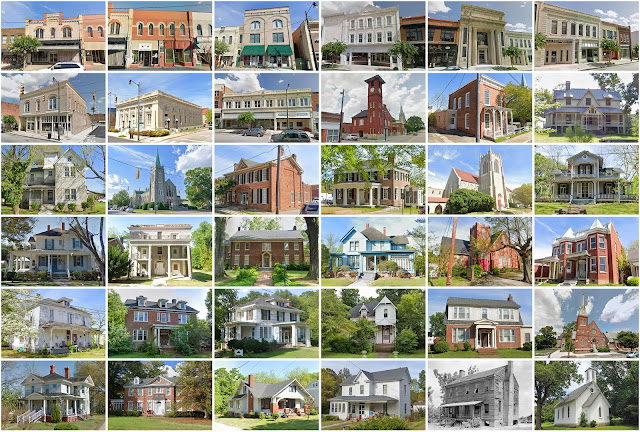
Founding:  1881 Parent counties:  Franklin, Granville, and Warren Namesake:  Zebulon Vance, North Carolina politician Seat:  Henderson (1881–) Land area:  252 square miles Population (2020):  42,578 Population (historic):  17,581 (1890); 19,425 (1910); 27,294 (1930) Periods of population growth:  pre-1890; 1900–1950; 1960–2010 Subdivisions:  One city; two towns; one CDP; five townships Pre-1940 residences (estimated):  1,234 (6.4%) Pre-1940 housing survival rate:  21.3% Farm housing in disrepair (1950):  27.9% Nonfarm housing in disrepair (1950):  15.9% Average farmhouse value (1930):  $630 Average outbuilding value (1930):  $363 Average farmhouse size (1940):  4.6 rooms Number of farms (1920):  2,036 Average farm size (1920):  29.6 acres _________________________________________________________________________________   Henderson   Namesake:  Leonard Henderson, North Carol...

Gray County, Kansas

Image
Founding:  1888 (declared in 1873) Parent county:  Unorganized territory Namesake:  Alfred Gray, Kansas politician Seat:  Cimarron (1888–) Land area:  869 square miles Population (2020):  5,653 Population (historic):  2,415 (1890); 3,121 (1910); 6,211 (1930) Periods of population growth:  pre-1890; 1900–1930; 1940s; 1960–2010 Subdivisions:  Five cities; seven townships Pre-1940 residences (estimated):  393 (16.8%) Pre-1940 housing survival rate:  38% Farm housing in disrepair (1950):  12.8% Nonfarm housing in disrepair (1950):  1.3% Average farmhouse value (1930):  $1,228 Average outbuilding value (1930):  $1,045 Average farmhouse size (1940):  5 rooms Number of farms (1920):  733 Average farm size (1920):  311.4 acres Sources of settlement:  Kansas, Missouri, Illinois, Oklahoma, and Indiana _________________________________________________________________________________   Cima...

Washington County, Vermont

Image
Founding:  1811 (declared in 1810) Parent counties:  Caledonia, Chittenden, and Orange Namesake:  George Washington, U.S. president Seat:  Montpelier (1811–) Land area:  687 square miles Population (2020):  59,807 Population (historic):  14,113 (1820); 24,654 (1850); 26,520 (1870); 36,607 (1900); 41,733 (1930) Periods of population growth:  pre-1820–1860; 1880–1910; 1920s; 1940–2020 Subdivisions:  Two cities; one village; 12 CDPs; 18 towns Pre-1940 residences (estimated):  8,867 (28.9%) Pre-1940 housing survival rate:  85% Pre-1860 housing survival rate (1940):  37.1% Farm housing in disrepair (1950):  10.2% Nonfarm housing in disrepair (1950):  5.2% Average farmhouse value (1930):  $1,555 Average outbuilding value (1930):  $1,315 Average farmhouse size (1940):  7.4 rooms Number of farms (1920):  2,564 Average farm size (1920):  41.6 acres __________________________________...

Pondera County, Montana

Image
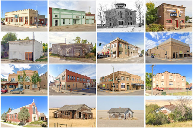
Founding:  1919 Parent counties:  Chouteau and Teton Namesake:  The Pend d'Oreilles people Seat:  Conrad (1919–) Land area:  1,623 square miles Population (2020):  5,898 Population (historic):  5,741 (1920); 6,964 (1930) Periods of population growth:  pre-1920–1930; 1950s; 1970s Subdivisions:  One city; one town; eight CDPs Pre-1940 residences (estimated):  434 (20.2%) Pre-1940 housing survival rate:  29.8% Farm housing in disrepair (1950):  7.5% Nonfarm housing in disrepair (1950):  4.6% Average farmhouse value (1930):  $866 Average outbuilding value (1930):  $839 Average farmhouse size (1940):  3.9 rooms Number of farms (1920):  1,060 Average farm size (1920):  251.1 acres Sources of settlement:  Minnesota, Missouri, Wisconsin, Iowa, Washington, and Canada _________________________________________________________________________________   Conrad   Namesake:  William Conrad, Mo...